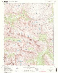
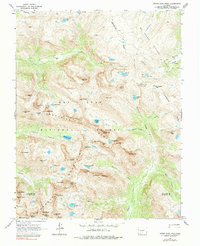
1964 Map of Storm King Peak
USGS Topo · Published 1991About this map
The Continental Divide winds through this high-altitude landscape in the mid-1960s, serving as the border between the San Juan National Forest and the Rio Grande National Forest. This remote section of the Weminuche Wilderness is defined by its series of numbered and named summits, including the prominent Storm King Peak and the striking Jagged Mountain. Evidence of early exploration and resource extraction is scattered across the terrain, with several unnamed Mines and Prospect sites located near Eldorado Lake and Hunchback Mountain.
Find a feature on this map
79 named features on this map. Tap any name to fly to it.
Don’t see what you’re looking for? This feature index may not catch every label — zoom into the map to look around manually.
Map Details
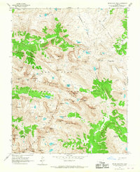
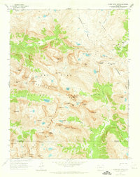
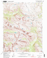
Editions of this 1964 Storm King Peak Map
5 editions found
Other maps of this area

1897 · Silverton
USGS Topo · 1:62,500

1900 · Needle Mountains
USGS Topo · 1:62,500

1901 · Silverton
USGS Topo · 1:62,500

1902 · Needle Mountains
USGS Topo · 1:62,500

1902 · Silverton
USGS Topo · 1:62,500

1905 · San Cristobal
USGS Topo · 1:125,000

1907 · San Cristobal
USGS Topo · 1:125,000

1945 · Durango
USGS Topo · 1:250,000

1953 · Durango
USGS Topo · 1:250,000

1954 · Durango
USGS Topo · 1:250,000