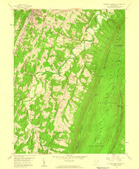
1958 Map of Stotlers Crossroads
USGS Topo · Published 1959About this map
Berkeley Springs (Bath) serves as the northern anchor of this landscape, where the waters of Warm Spring Run move through a valley defined by Pious Ridge. Moving south, the terrain becomes increasingly complex as the Sleepy Creek drainage carves through the ridges of Allen and Hedgesville districts. The map documents a rural community structure centered on small crossroads and family-named landmarks, such as Johnsons Mill and Smith Crossroads, alongside numerous country churches including Ambrose Chapel and Duckwalls Ch.
Find a feature on this map
43 named features on this map. Tap any name to fly to it.
Don’t see what you’re looking for? This feature index may not catch every label — zoom into the map to look around manually.
Map Details
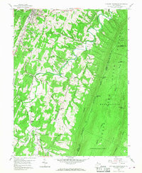
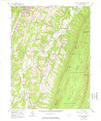
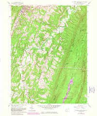
Editions of this 1958 Stotlers Crossroads Map
4 editions found
Other maps of this area

1894 · Winchester
USGS Topo · 1:125,000

1898 · Paw Paw
USGS Topo · 1:62,500

1899 · Hancock
USGS Topo · 1:62,500

1900 · Pawpaw
USGS Topo · 1:62,500

1901 · Hancock
USGS Topo · 1:62,500

1910 · Paw Paw
USGS Topo · 1:62,500

1914 · Gerrardstown
USGS Topo · 1:48,000

1916 · Gerrardstown
USGS Topo · 1:62,500

1916 · Capon Bridge
USGS Topo · 1:62,500

1923 · Capon Bridge
USGS Topo · 1:62,500