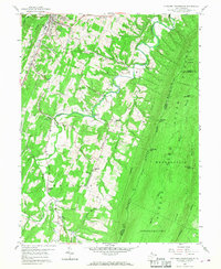
1958 Map of Stotlers Crossroads
USGS Topo · Published 1968About this map
Sleepy Creek dominates the central drainage of this West Virginia landscape, winding through a complex topography of narrow ridges and valleys between Morgan Mountain and Highland Ridge. The 1958 field check captures a rural community structured around small crossroads and family-named landmarks. Settlements like Stotlers Crossroads and Johnsons Mill serve as local hubs, while numerous country churches and cemeteries, including Duckwalls Ch and Michael Cem, are scattered across the Rock Gap and Allen districts.
Find a feature on this map
50 named features on this map. Tap any name to fly to it.
Don’t see what you’re looking for? This feature index may not catch every label — zoom into the map to look around manually.
Map Details
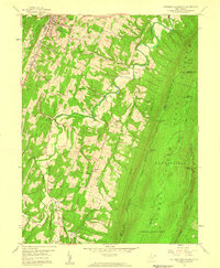
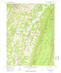
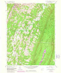
Editions of this 1958 Stotlers Crossroads Map
4 editions found
Other maps of this area

1894 · Winchester
USGS Topo · 1:125,000

1898 · Paw Paw
USGS Topo · 1:62,500

1899 · Hancock
USGS Topo · 1:62,500

1900 · Pawpaw
USGS Topo · 1:62,500

1901 · Hancock
USGS Topo · 1:62,500

1910 · Paw Paw
USGS Topo · 1:62,500

1914 · Gerrardstown
USGS Topo · 1:48,000

1916 · Gerrardstown
USGS Topo · 1:62,500

1916 · Capon Bridge
USGS Topo · 1:62,500

1923 · Capon Bridge
USGS Topo · 1:62,500