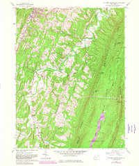
1958 Map of Stotlers Crossroads
USGS Topo · Published 1982About this map
The town of Berkeley Springs anchors the northwestern corner of this West Virginia terrain, where the ridge-and-valley landscape dictates the pattern of settlement. Much of the eastern expanse is dedicated to the Sleepy Creek Public Hunting Area, dominated by the massive parallel ridges of Sleepy Creek Mountain and Third Hill Mountain. Between these heights, Meadow Branch flows through a largely uninhabited corridor, while human activity remains concentrated to the west along the winding course of Sleepy Creek.
Find a feature on this map
42 named features on this map. Tap any name to fly to it.
Don’t see what you’re looking for? This feature index may not catch every label — zoom into the map to look around manually.
Map Details
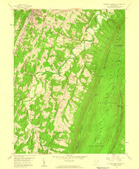
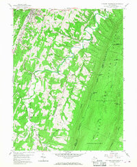
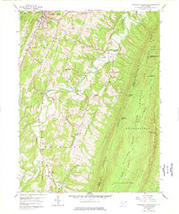
Editions of this 1958 Stotlers Crossroads Map
4 editions found
Other maps of this area

1894 · Winchester
USGS Topo · 1:125,000

1898 · Paw Paw
USGS Topo · 1:62,500

1899 · Hancock
USGS Topo · 1:62,500

1900 · Pawpaw
USGS Topo · 1:62,500

1901 · Hancock
USGS Topo · 1:62,500

1910 · Paw Paw
USGS Topo · 1:62,500

1914 · Gerrardstown
USGS Topo · 1:48,000

1916 · Gerrardstown
USGS Topo · 1:62,500

1916 · Capon Bridge
USGS Topo · 1:62,500

1923 · Capon Bridge
USGS Topo · 1:62,500