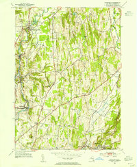
1953 Map of Stottville
USGS Topo · Published 1955About this map
Kinderhook Creek winds through the northern half of this mid-century Columbia County landscape, defining the industrial and agricultural character of settlements like Stuyvesant Falls and Stockport. Literary and political history is deeply etched into the terrain here, most notably at the Martin Van Buren Homestead and the nearby Ichabod Crane Home, rooting the map in the region's 19th-century legacy. The area’s religious and civic development is evidenced by the concentration of sites like St Pauls Ch, the Waltermire Sch, and numerous burial grounds including the Union Ghent Cem and Sacred Heart Cem. Transportation networks are dominated by the New York Central railroad, which parallels the creek and supports villages such as Rossman and Stottville. In the southern reaches, the geography shifts toward Philmont and Mellenville, where Agawamuck Creek and Claverack Creek converge near the landmark Mount Ida.
Find a feature on this map
38 named features on this map. Tap any name to fly to it.
Don’t see what you’re looking for? This feature index may not catch every label — zoom into the map to look around manually.
Map Details
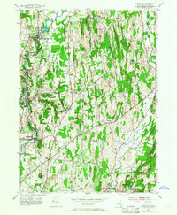
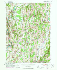
Editions of this 1953 Stottville Map
3 editions found
Other maps of this area

1893 · Coxsackie
USGS Topo · 1:62,500

1894 · Coxsackie
USGS Topo · 1:62,500

1895 · Catskill
USGS Topo · 1:62,500

1902 · Copake
USGS Topo · 1:62,500

1903 · Kinderhook
USGS Topo · 1:62,500

1904 · Copake
USGS Topo · 1:62,500

1929 · Coxsackie
USGS Topo · 1:62,500

1933 · Kinderhook
USGS Topo · 1:62,500

1934 · Catskill
USGS Topo · 1:62,500

1938 · Catskill
USGS Topo · 1:62,500