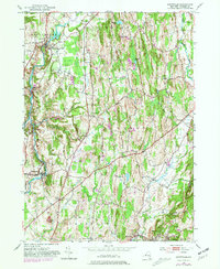
1953 Map of Stottville
USGS Topo · Published 1981About this map
Stuyvesant Falls and the surrounding Columbia County landscape appear here in a period of transition, where mid-century agriculture meets growing regional infrastructure. The Kinderhook Creek carves a path through the western townships of Stuyvesant and Stockport, passing Rossman Falls and the historic Martin Van Buren Homestead. Settlement patterns are anchored by small villages and crossroads such as West Ghent, Philmont, and Brick Tavern, connected by the legacy of the Penn Central railroad and the expanding Taconic State Parkway. Local community life is evidenced by numerous landmarks including St Pauls Ch and several rural burying grounds like the Union Ghent Cem. The presence of the Columbia County Airport near the center of the sheet reflects the mid-century modernization of this Hudson Valley corridor while preserving its 19th-century hamlet character.
Find a feature on this map
30 named features on this map. Tap any name to fly to it.
Don’t see what you’re looking for? This feature index may not catch every label — zoom into the map to look around manually.
Map Details
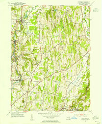
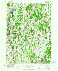
Editions of this 1953 Stottville Map
3 editions found
Other maps of this area

1893 · Coxsackie
USGS Topo · 1:62,500

1894 · Coxsackie
USGS Topo · 1:62,500

1895 · Catskill
USGS Topo · 1:62,500

1902 · Copake
USGS Topo · 1:62,500

1903 · Kinderhook
USGS Topo · 1:62,500

1904 · Copake
USGS Topo · 1:62,500

1929 · Coxsackie
USGS Topo · 1:62,500

1933 · Kinderhook
USGS Topo · 1:62,500

1934 · Catskill
USGS Topo · 1:62,500

1938 · Catskill
USGS Topo · 1:62,500