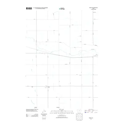
2013 Map of Stout
USGS Topo · Published 2013About this map
Stout and the surrounding rural townships of Butler and Grundy counties appear here as a landscape defined by an exacting grid of section roads and the meandering path of Beaver Cr. The small community of Stout remains a central point of reference, situated along Main St and Q Ave, while smaller named locales such as Lear, Sinclair, and Swanton reflect the historical settlement patterns of the Iowa prairie. The terrain is largely agricultural, punctuated by notable natural features like Taylor Hill and the riparian corridor of Max Cr. Water access for recreation is indicated at Moore's Access along the creek, while the southern portion of the survey is drained by the N Fork Black Hawk Cr. This 2013 record documents the persistent township-and-range road system that has structured this farming region for over a century.
Find a feature on this map
39 named features on this map. Tap any name to fly to it.
Don’t see what you’re looking for? This feature index may not catch every label — zoom into the map to look around manually.
Map Details
Editions of this 2013 Stout Map
This is the sole edition of this map. No revisions or reprints were ever made.
Other maps of this area

1954 · Waterloo
USGS Topo · 1:250,000

1955 · Waterloo
USGS Topo · 1:250,000

1971 · Zaneta
USGS Topo · 1:24,000

1971 · Shell Rock
USGS Topo · 1:24,000

1971 · Dike
USGS Topo · 1:24,000

1971 · Coster
USGS Topo · 1:24,000

1971 · Stout
USGS Topo · 1:24,000
1971 · New Hartford
USGS Topo · 1:24,000

1979 · Holland
USGS Topo · 1:24,000

1979 · Butler Center
USGS Topo · 1:24,000