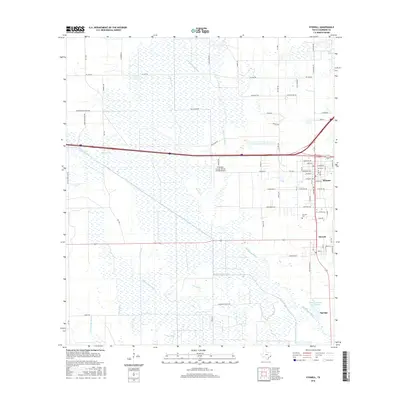
2016 Map of Stowell
USGS Topo · Published 2016About this map
The coastal prairie of Chambers County is defined by an intricate network of irrigation and drainage infrastructure surrounding the settlements of Winnie and Stowell. A complex system of waterways, including the Devers Canal, Devers Main Canal, and Devers East Canal, crisscrosses the landscape alongside natural drainage features like Spindletop Bayou and Elm Bayou. This modern survey reveals how the local economy and land use are tied to water management, with numerous named ditches and canals supporting the agricultural and industrial needs of the region.
Find a feature on this map
65 named features on this map. Tap any name to fly to it.
Don’t see what you’re looking for? This feature index may not catch every label — zoom into the map to look around manually.
Map Details
Editions of this 2016 Stowell Map
This is the sole edition of this map. No revisions or reprints were ever made.
Other maps of this area

1943 · Whites Bayou
USGS Topo · 1:24,000

1943 · Sea Breeze
USGS Topo · 1:24,000

1943 · Stowell
USGS Topo · 1:24,000

1945 · Nolte
USGS Topo · 1:31,680

1945 · Sea Breeze
USGS Topo · 1:31,680

1950 · Houston
USGS Topo · 1:250,000

1956 · Houston
USGS Topo · 1:250,000
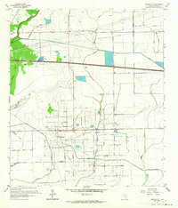
1961 · Monroe City
USGS Topo · 1:24,000
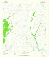
1961 · Oyster Bayou
USGS Topo · 1:24,000
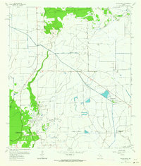
1961 · Whites Bayou
USGS Topo · 1:24,000