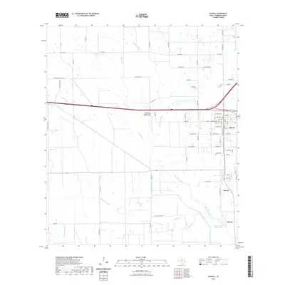
2022 Map of Stowell
USGS Topo · Published 2022About this map
Winnie and Stowell serve as the primary anchors for this coastal prairie landscape in eastern Chambers County. The region is defined by a sophisticated water management network including the Devers Main Canal, Devers East Canal, and Ogden Ditch, which redirect water across the flat terrain. These engineered waterways run alongside natural drainage features like Spindletop Bayou and Elm Bayou, reflecting the area's agricultural and industrial infrastructure. The layout of the landscape is further shaped by large-scale landholdings and infrastructure, such as the Chambers County/Winnie Stowell Airport and the Marshall Estate Lake Number 1 located near the small settlement of Figridge. Local history is preserved at sites like Fairview Cemetery, while the dense grid of county roads and farm-to-market routes like FM 1663 RD and FM 1406 connects the scattered homesites and ranching operations characteristic of the modern Texas Gulf Coast.
Find a feature on this map
78 named features on this map. Tap any name to fly to it.
Don’t see what you’re looking for? This feature index may not catch every label — zoom into the map to look around manually.
Map Details
Editions of this 2022 Stowell Map
This is the sole edition of this map. No revisions or reprints were ever made.
Other maps of this area

1943 · Whites Bayou
USGS Topo · 1:24,000

1943 · Sea Breeze
USGS Topo · 1:24,000

1943 · Stowell
USGS Topo · 1:24,000

1945 · Nolte
USGS Topo · 1:31,680

1945 · Sea Breeze
USGS Topo · 1:31,680

1950 · Houston
USGS Topo · 1:250,000

1956 · Houston
USGS Topo · 1:250,000
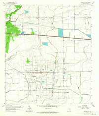
1961 · Monroe City
USGS Topo · 1:24,000
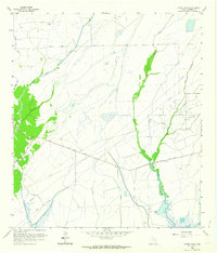
1961 · Oyster Bayou
USGS Topo · 1:24,000
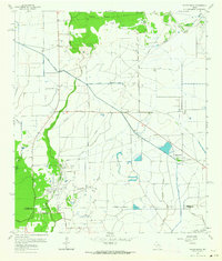
1961 · Whites Bayou
USGS Topo · 1:24,000