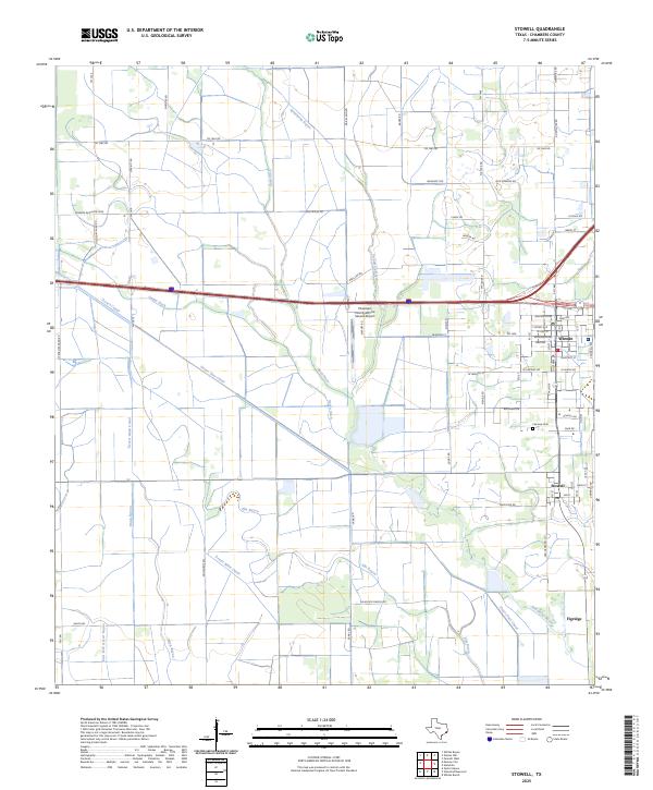
2025 Map of Stowell
USGS Topo · Published 2025About this map
Winnie and Stowell anchor this coastal Texas landscape, where the flat terrain of Chambers County is defined by an extensive network of water management features. The irrigation and drainage infrastructure is prominent, featuring the Devers Canal, Devers Main Canal, and Devers East Canal, alongside numerous man-made waterways like Ogden Ditch and Rush Ditch. These systems cut across the natural drainage of Spindletop Bayou and Onion Bayou, illustrating the area's intensive agricultural modification.
Find a feature on this map
74 named features on this map. Tap any name to fly to it.
Don’t see what you’re looking for? This feature index may not catch every label — zoom into the map to look around manually.
Map Details
Editions of this 2025 Stowell Map
This is the sole edition of this map. No revisions or reprints were ever made.
Other maps of this area

1943 · Whites Bayou
USGS Topo · 1:24,000

1943 · Sea Breeze
USGS Topo · 1:24,000

1943 · Stowell
USGS Topo · 1:24,000

1945 · Nolte
USGS Topo · 1:31,680

1945 · Sea Breeze
USGS Topo · 1:31,680

1950 · Houston
USGS Topo · 1:250,000

1956 · Houston
USGS Topo · 1:250,000
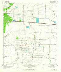
1961 · Monroe City
USGS Topo · 1:24,000
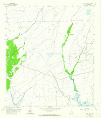
1961 · Oyster Bayou
USGS Topo · 1:24,000
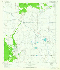
1961 · Whites Bayou
USGS Topo · 1:24,000