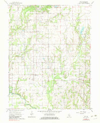
1968 Map of Stoy
USGS Topo · Published 1983About this map
The Main Consolidated Field dominates the landscape of Crawford County, evidenced by a dense network of oil and gas wells concentrated around Oil Center and Stoy. This industrial footprint is woven into a predominantly rural fabric of small settlements and family landmarks. The Illinois Central railroad cuts through the northern portion of the map, serving the community of Stoy and providing a vital transport link for the region's energy resources. To the south, the topography descends toward the Embarras River, where the terrain becomes more varied around waterways like Honey Creek and Painter Creek. Local heritage is anchored by dispersed country churches such as Eureka Ch and Pearl Chapel, alongside numerous burial grounds including Hardinville Cem and Jones Cem. The settlement at Hardinville stands as a central crossroads, surrounded by these legacy institutions and the sprawling petroleum infrastructure of the mid-20th century.
Find a feature on this map
34 named features on this map. Tap any name to fly to it.
Don’t see what you’re looking for? This feature index may not catch every label — zoom into the map to look around manually.
Map Details
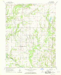
Editions of this 1968 Stoy Map
2 editions found
Other maps of this area

1910 · Hardinville
USGS Topo · 1:62,500

1917 · Birds
USGS Topo · 1:62,500

1942 · Birds
USGS Topo · 1:62,500

1953 · Indianapolis
USGS Topo · 1:250,000

1956 · Indianapolis
USGS Topo · 1:250,000

1956 · Annapolis
USGS Topo · 1:62,500

1956 · Vincennes
USGS Topo · 1:250,000

1957 · Indianapolis
USGS Topo · 1:250,000

1957 · Vincennes
USGS Topo · 1:250,000

1957 · Hutsonville
USGS Topo · 1:62,500