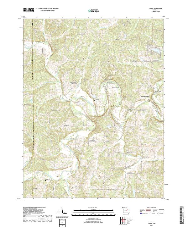
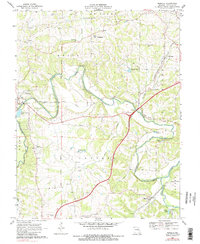
2021 Map of Strain
USGS Topo · Published 2021This historical map portrays the area of Strain in 2021, primarily covering Franklin County as well as portions of Gasconade County. Featuring a scale of 1:24000, this map provides a highly detailed snapshot of the terrain, roads, buildings, counties, and historical landmarks in the Strain region at the time. Published in 2021, it is the sole known edition of this map.
Map Details
Editions of this 2021 Strain Map
This is the sole edition of this map. No revisions or reprints were ever made.
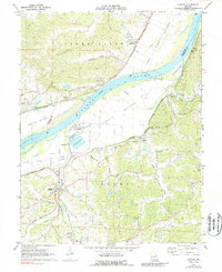
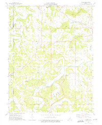
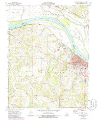
Historical Maps of Strain Through Time
16 maps found
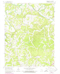
1966 Spring Bluff
Franklin County, MO
1966 Strain
Franklin County, MO
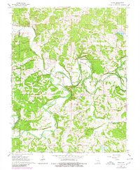
1969 Lonedell
Franklin County, MO
1969 Moselle
Franklin County, MO
1972 Labadie
Franklin County, MO
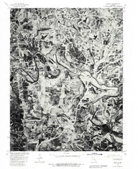
1973 Dissen
Franklin County, MO
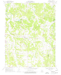
1973 Washington West
Franklin County, MO
1980 Moselle
Franklin County, MO
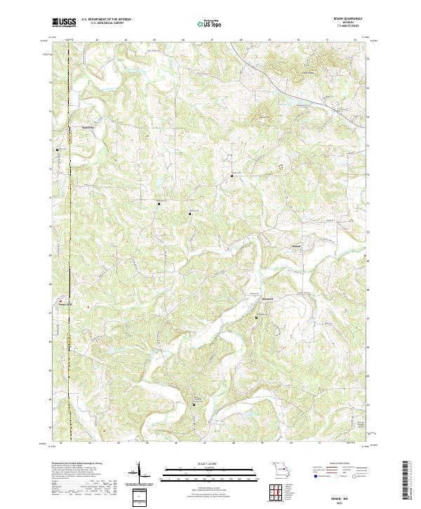
2021 Dissen
Franklin County, MO
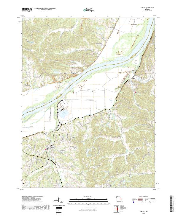
2021 Labadie
Franklin County, MO
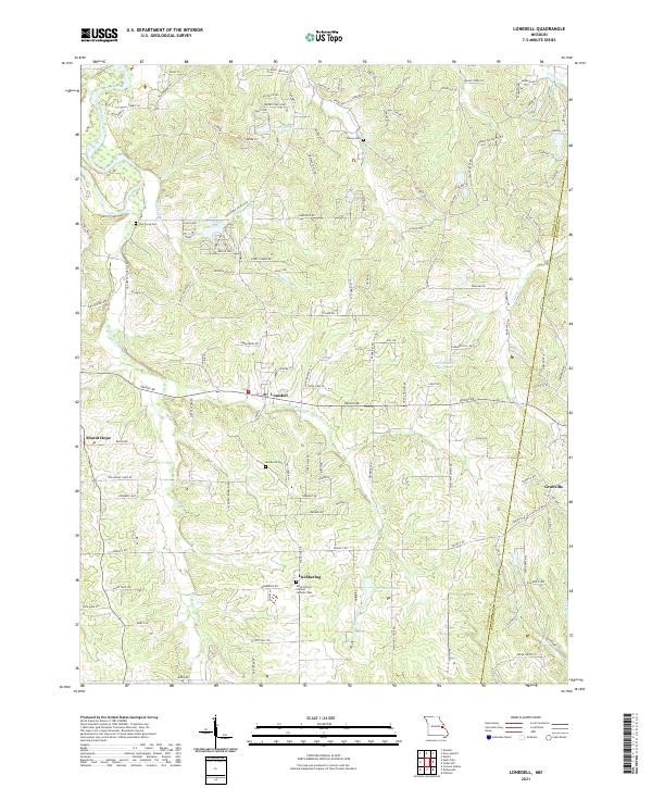
2021 Lonedell
Franklin County, MO
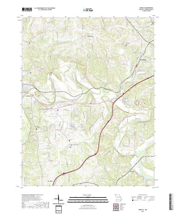
2021 Moselle
Franklin County, MO
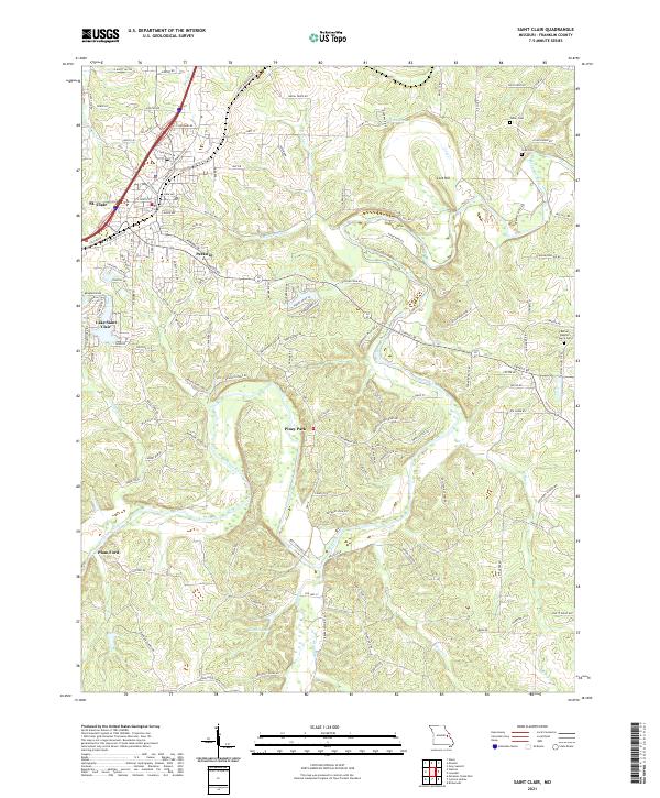
2021 Saint Clair
Franklin County, MO
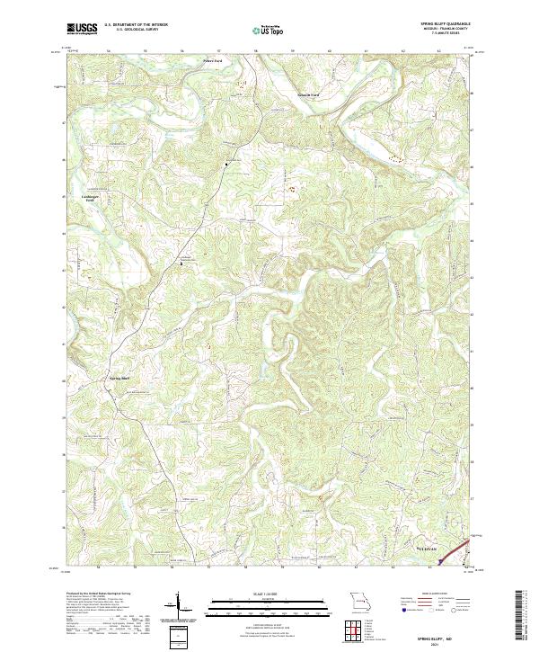
2021 Spring Bluff
Franklin County, MO
2021 Strain
Franklin County, MO
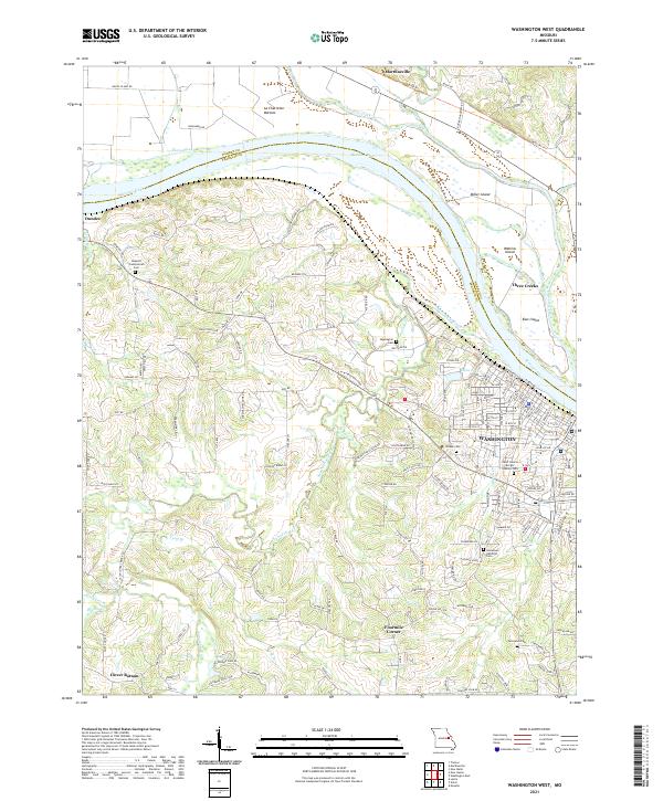
2021 Washington West
Franklin County, MO