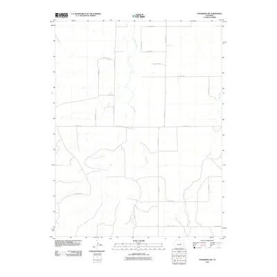
2010 Map of Strasburg SW
USGS Topo · Published 2010About this map
Kiowa Creek and Wolf Creek define the drainage patterns of this rural landscape in eastern Arapahoe County. The terrain is structured by a rectilinear grid of section-line roads, typical of the High Plains, including E Belleview Ave and E Orchard Rd. Residential developments are evident in the southwestern portion of the quadrangle, where winding residential streets like Sun Country Dr and Antelope Dr depart from the traditional grid. This 2010 survey by the U.S. Geological Survey captures a period of modern rural transition, where large-lot subdivisions and country estates intersect with traditional ranching corridors such as S County Rd-137 and S County Rd-129. The map provides a detailed view of the local infrastructure before significant 21st-century suburban expansion reached this specific portion of the Colorado plains.
Find a feature on this map
21 named features on this map. Tap any name to fly to it.
Don’t see what you’re looking for? This feature index may not catch every label — zoom into the map to look around manually.
Map Details
Editions of this 2010 Strasburg SW Map
This is the sole edition of this map. No revisions or reprints were ever made.
Other maps of this area

1890 · East Denver
USGS Topo · 1:125,000

1894 · Castle Rock
USGS Topo · 1:125,000

1913 · Castle Rock
USGS Topo · 1:125,000

1939 · Elizabeth
USGS Topo · 1:62,500

1945 · Elizabeth
USGS Topo · 1:62,500

1953 · Denver
USGS Topo · 1:250,000

1954 · Watkins
USGS Topo · 1:24,000

1955 · Strasburg NW
USGS Topo · 1:24,000

1955 · Watkins SE
USGS Topo · 1:24,000

1955 · Strasburg
USGS Topo · 1:24,000