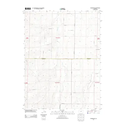
2013 Map of Strasburg SW
USGS Topo · Published 2013About this map
Kiowa Cr and Wolf Creek dominate this drainage-carved section of the High Plains, where the boundary between Arapahoe and Elbert Counties cuts across the center of the sheet. The landscape is defined by its transition from agricultural section lines to the emerging suburban patterns of the early twenty-first century. Residential developments like Sun Country Dr, Lariat Loop, and Foxwood Dr appear in the western reaches, signaling the expansion of the Denver metropolitan periphery. Despite this growth, the area retains its rural infrastructure, anchored by established thoroughfares such as Kiowa-Bennett Rd and S Co Road 133. The map captures the subtle terrain of the eastern plains, featuring geological landmarks like Lone Tree Gulch and the braided channels of Wolf Cr as they weave through a grid of section roads.
Find a feature on this map
33 named features on this map. Tap any name to fly to it.
Don’t see what you’re looking for? This feature index may not catch every label — zoom into the map to look around manually.
Map Details
Editions of this 2013 Strasburg SW Map
This is the sole edition of this map. No revisions or reprints were ever made.
Other maps of this area

1890 · East Denver
USGS Topo · 1:125,000

1894 · Castle Rock
USGS Topo · 1:125,000

1913 · Castle Rock
USGS Topo · 1:125,000

1939 · Elizabeth
USGS Topo · 1:62,500

1945 · Elizabeth
USGS Topo · 1:62,500

1953 · Denver
USGS Topo · 1:250,000

1954 · Watkins
USGS Topo · 1:24,000

1955 · Strasburg NW
USGS Topo · 1:24,000

1955 · Watkins SE
USGS Topo · 1:24,000

1955 · Strasburg
USGS Topo · 1:24,000