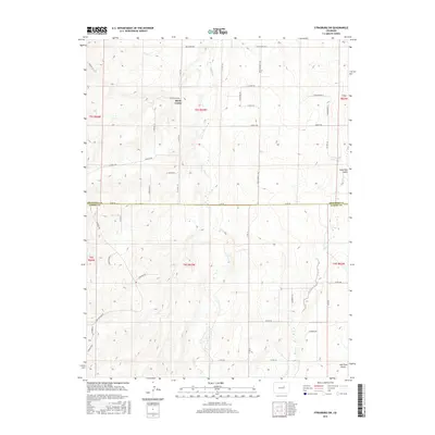
2016 Map of Strasburg SW
USGS Topo · Published 2016About this map
Brick Center stands as the primary named settlement in this high-plains landscape where the Arapahoe and Elbert county lines meet. The terrain is defined by the northward-draining systems of Kiowa Creek and Wolf Creek, which carve distinct drainage patterns across the survey. A developing road network, including the prominent Kiowa-Bennett Road and Belleview Avenue, overlay the traditional section-line grid of the Public Land Survey System, illustrating the intersection of modern suburban expansion with rural ranching tracts. The presence of Lone Tree Gulch in the eastern portion of the map highlights the localized relief typical of this part of the Colorado Piedmont. For genealogists and local historians, the detailed labeling of local routes like Hawley Road and Geddes Avenue provides a clear record of land access and property boundaries as they existed during this mid-2010s period.
Find a feature on this map
48 named features on this map. Tap any name to fly to it.
Don’t see what you’re looking for? This feature index may not catch every label — zoom into the map to look around manually.
Map Details
Editions of this 2016 Strasburg SW Map
This is the sole edition of this map. No revisions or reprints were ever made.
Other maps of this area

1890 · East Denver
USGS Topo · 1:125,000

1894 · Castle Rock
USGS Topo · 1:125,000

1913 · Castle Rock
USGS Topo · 1:125,000

1939 · Elizabeth
USGS Topo · 1:62,500

1945 · Elizabeth
USGS Topo · 1:62,500

1953 · Denver
USGS Topo · 1:250,000

1954 · Watkins
USGS Topo · 1:24,000

1955 · Strasburg NW
USGS Topo · 1:24,000

1955 · Watkins SE
USGS Topo · 1:24,000

1955 · Strasburg
USGS Topo · 1:24,000