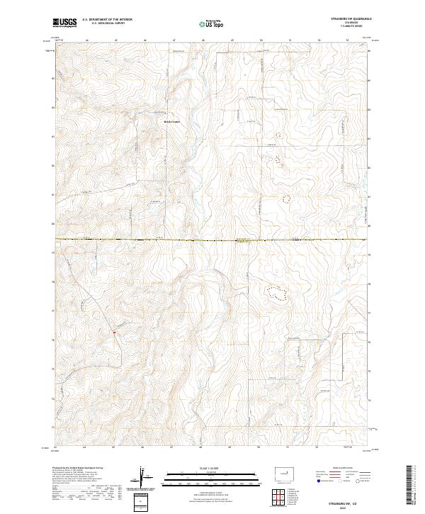
2022 Map of Strasburg SW
USGS Topo · Published 2022About this map
Brick Center serves as a primary reference point in this corner of Colorado, situated near the headwaters of ephemeral drainage systems. The landscape is defined by the northward flow of Kiowa Cr, which carves a distinct path through the rolling terrain of the High Plains. To the east, the map tracks the upper reaches of Wolf Creek and its smaller tributary, Wolf Cr, as they move across the boundary separating Arapahoe Co and Elbert Co. This area transitions from established rural road grids like Belleview Ave to more modern residential developments emerging in the southwest, indicated by winding thoroughfares such as Foxwood Dr and Sun Country Dr. The intersection of drainage features like Lone Tree Gulch with the straight-line county border of Co RD 50 illustrates the meeting of natural topography and man-made political divisions.
Find a feature on this map
49 named features on this map. Tap any name to fly to it.
Don’t see what you’re looking for? This feature index may not catch every label — zoom into the map to look around manually.
Map Details
Editions of this 2022 Strasburg SW Map
This is the sole edition of this map. No revisions or reprints were ever made.
Other maps of this area

1890 · East Denver
USGS Topo · 1:125,000

1894 · Castle Rock
USGS Topo · 1:125,000

1913 · Castle Rock
USGS Topo · 1:125,000

1939 · Elizabeth
USGS Topo · 1:62,500

1945 · Elizabeth
USGS Topo · 1:62,500

1953 · Denver
USGS Topo · 1:250,000

1954 · Watkins
USGS Topo · 1:24,000

1955 · Strasburg NW
USGS Topo · 1:24,000

1955 · Watkins SE
USGS Topo · 1:24,000

1955 · Strasburg
USGS Topo · 1:24,000