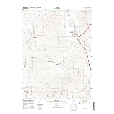
2013 Map of Strasburg
USGS Topo · Published 2013About this map
Strasburg serves as a primary hub in this portion of Tuscarawas County, where Sugar Creek and the surrounding drainage of Turkeyfoot Run shape the local topography. The landscape is a network of rural settlements and agricultural corridors, linked by historic routes like Oh-93 and Oh-516. Genealogists will find a high concentration of burial sites, including Saint Aloysius Cem, Grandview Cem, and the Bunker Hill Cem near Winfield. In the southwestern corner, Sugarcreek and Winklepleck Grove mark areas of significant community development. The map also captures specialized transport and leisure sites like the Plane Country Airport and the Lynn Auto Theatre to the north. Smaller locales such as Dundee, Barrs Mills, and the neighboring Beartown and Columbia reflect the enduring small-town character of this Ohio valley region.
Find a feature on this map
114 named features on this map. Tap any name to fly to it.
Don’t see what you’re looking for? This feature index may not catch every label — zoom into the map to look around manually.
Map Details
Editions of this 2013 Strasburg Map
This is the sole edition of this map. No revisions or reprints were ever made.
Other maps of this area

1909 · Uhrichsville
USGS Topo · 1:62,500

1911 · Uhrichsville
USGS Topo · 1:62,500

1911 · Newcomerstown
USGS Topo · 1:62,500

1912 · Dover
USGS Topo · 1:62,500

1913 · Newcomerstown
USGS Topo · 1:62,500

1914 · Navarre
USGS Topo · 1:62,500

1943 · Newcomerstown
USGS Topo · 1:62,500

1944 · Navarre
USGS Topo · 1:62,500

1944 · Dover
USGS Topo · 1:62,500

1951 · Canton
USGS Topo · 1:250,000