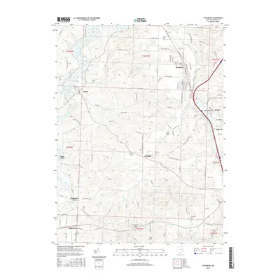
2016 Map of Strasburg
USGS Topo · Published 2016About this map
Strasburg serves as the primary hub in this portion of Tuscarawas County, positioned where Sugar Creek flows toward the southeast. The landscape is defined by a dense network of watercourses, including Turkeyfoot Run, Cherry Run, and Broad Run, which carve through the terrain between the small settlements of Dundee and Winfield. In the southern reaches, the village of Sugarcreek borders Winklepleck Grove, while scattered rural landmarks such as Knob Hill and Lohmers Lake punctuate the agricultural surroundings.
Find a feature on this map
109 named features on this map. Tap any name to fly to it.
Don’t see what you’re looking for? This feature index may not catch every label — zoom into the map to look around manually.
Map Details
Editions of this 2016 Strasburg Map
This is the sole edition of this map. No revisions or reprints were ever made.
Other maps of this area

1909 · Uhrichsville
USGS Topo · 1:62,500

1911 · Uhrichsville
USGS Topo · 1:62,500

1911 · Newcomerstown
USGS Topo · 1:62,500

1912 · Dover
USGS Topo · 1:62,500

1913 · Newcomerstown
USGS Topo · 1:62,500

1914 · Navarre
USGS Topo · 1:62,500

1943 · Newcomerstown
USGS Topo · 1:62,500

1944 · Navarre
USGS Topo · 1:62,500

1944 · Dover
USGS Topo · 1:62,500

1951 · Canton
USGS Topo · 1:250,000