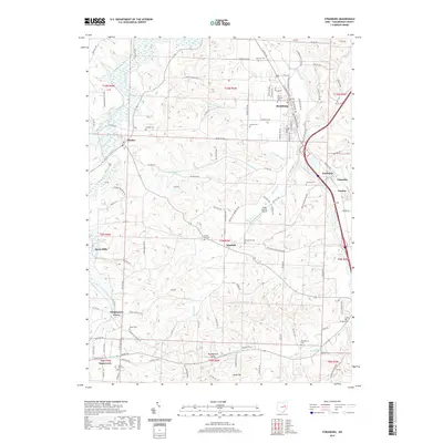
2019 Map of Strasburg
USGS Topo · Published 2019About this map
Strasburg and Dundee anchor this section of Tuscarawas County, where the winding courses of Sugar Creek and its many tributaries, such as Turkeyfoot Run and Cherry Run, define the local topography. The map illustrates a landscape dense with small settlements and rural landmarks, from Barrs Mills and Winfield to the smaller communities of Beartown and Loudon.
Find a feature on this map
118 named features on this map. Tap any name to fly to it.
Don’t see what you’re looking for? This feature index may not catch every label — zoom into the map to look around manually.
Map Details
Editions of this 2019 Strasburg Map
This is the sole edition of this map. No revisions or reprints were ever made.
Other maps of this area
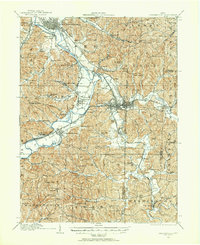
1909 · Uhrichsville
USGS Topo · 1:62,500
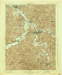
1911 · Uhrichsville
USGS Topo · 1:62,500
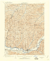
1911 · Newcomerstown
USGS Topo · 1:62,500
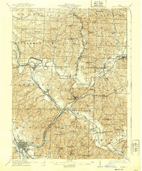
1912 · Dover
USGS Topo · 1:62,500
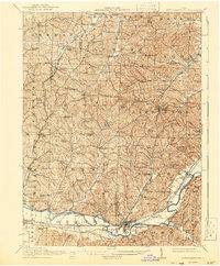
1913 · Newcomerstown
USGS Topo · 1:62,500
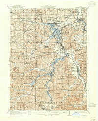
1914 · Navarre
USGS Topo · 1:62,500
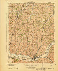
1943 · Newcomerstown
USGS Topo · 1:62,500
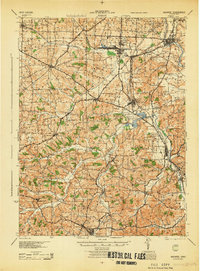
1944 · Navarre
USGS Topo · 1:62,500
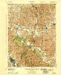
1944 · Dover
USGS Topo · 1:62,500

1951 · Canton
USGS Topo · 1:250,000