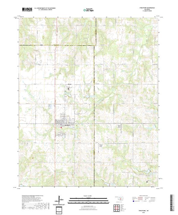
2022 Map of Stratford
USGS Topo · Published 2022About this map
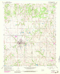
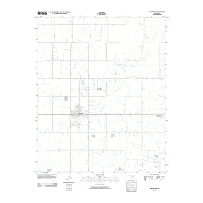
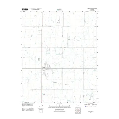
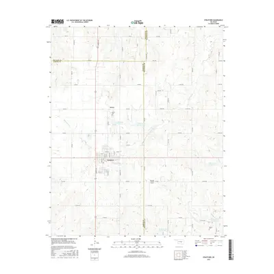
Stratford serves as the primary municipal center in this section of Oklahoma, where the boundaries of Garvin, McClain, and Pontotoc counties converge. The town layout is clearly defined by a grid including State St and Maple Ave, while the surrounding landscape is characterized by a sophisticated network of water management features. The area is dotted with numerous reservoirs, such as Sandy Cr Site 28 Reservoir and Sandy Cr Site 19 Reservoir, indicating the importance of watershed control for the local ranching and agricultural economy.
Find a feature on this map
75 named features on this map. Tap any name to fly to it.
Don’t see what you’re looking for? This feature index may not catch every label — zoom into the map to look around manually.
Map Details
Editions of this 2022 Stratford Map
This is the sole edition of this map. No revisions or reprints were ever made.
Historical Maps of Stratford Through Time
6 maps found