
1935 Map of Straw Plains
USGS Topo · Published 1935About this map
The Holston River carves a dramatic, winding path through East Tennessee in this 1935 survey, defining the rural landscape between Luttrell and Jefferson City. The terrain is characterized by the prominent ridges of Copper Ridge and Rocky Valley Mountain, which frame the agricultural and industrial activity of the mid-1930s. Notable infrastructure of the era includes the Southern railroad line running through Strawberry Plains and New Market, alongside the Republic Quarry and a CCC Camp. This period represents a landscape in transition as the Tennessee Valley Authority began its regional engineering efforts. Local life is densely recorded through numerous family-named landmarks like Massengale Mill and Smith Mill, and a high concentration of community centers such as Clear Spring Sch, Indian Cave, and Pleasant Grove Ch.
Find a feature on this map
76 named features on this map. Tap any name to fly to it.
Don’t see what you’re looking for? This feature index may not catch every label — zoom into the map to look around manually.
Map Details
Editions of this 1935 Straw Plains Map
This is the sole edition of this map. No revisions or reprints were ever made.
Historical Maps of Knoxville Through Time
10 maps found

1935 Clevenger
Jefferson County, TN
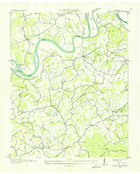
1935 Shady Grove
Jefferson County, TN
1935 Straw Plains
Jefferson County, TN
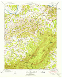
1939 Clevenger
Jefferson County, TN
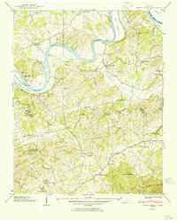
1939 Shady Grove
Jefferson County, TN
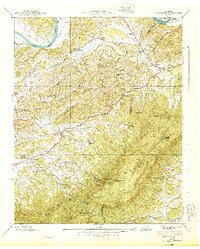
1940 Clevenger
Jefferson County, TN
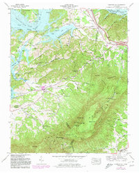
1961 Chestnut Hill
Jefferson County, TN
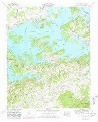
1961 Shady Grove
Jefferson County, TN
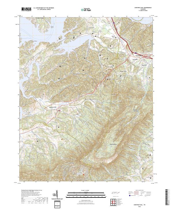
2022 Chestnut Hill
Jefferson County, TN
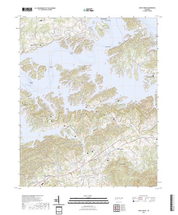
2022 Shady Grove
Jefferson County, TN