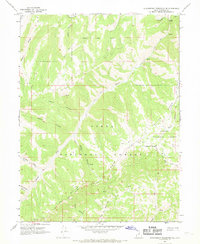
1967 Map of Strawberry Reservoir SE
USGS Topo · Published 1969About this map
The Uinta National Forest and Ashley National Forest converge in this late 1960s survey, revealing a landscape defined by sharp drainage divides and historic boundaries. The presence of the Old Indian Treaty Bdy cutting through the southeastern corner provides a direct link to the region's 19th-century land management history, while a network of pack trails and jeep trails suggests a wilderness utilized for grazing and transit rather than permanent settlement.
Find a feature on this map
32 named features on this map. Tap any name to fly to it.
Don’t see what you’re looking for? This feature index may not catch every label — zoom into the map to look around manually.
Map Details
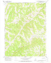
Editions of this 1967 Strawberry Reservoir SE Map
2 editions found
Other maps of this area

1885 · Salt Lake
USGS Topo · 1:250,000

1885 · Manti
USGS Topo · 1:250,000

1885 · Uinta
USGS Topo · 1:250,000

1886 · Price River
USGS Topo · 1:250,000

1895 · Manti
USGS Topo · 1:250,000

1896 · Price River
USGS Topo · 1:250,000

1907 · Strawberry Valley
USGS Topo · 1:125,000

1909 · Strawberry Valley
USGS Topo · 1:125,000

1939 · Soldier Summit
USGS Topo · 1:62,500

1942 · Soldier Summit
USGS Topo · 1:62,500