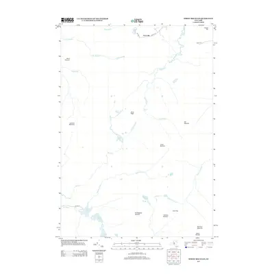
2013 Map of Street Mountain
USGS Topo · Published 2013About this map
Averyville sits at the northern edge of this high-elevation landscape, where local roads like Averyville Ln and Bear Cub Ln give way to the dense topography of the High Peaks region. The area is defined by massive massifs and significant water gaps, most notably the deep notch of Indian Pass tucked between Wallface Mountain and the MacIntyre Mountains. The drainage patterns here are complex, with the Chubb River flowing north while the Cold River and Indian Pass Brook navigate the steep ravines to the south.
Find a feature on this map
35 named features on this map. Tap any name to fly to it.
Don’t see what you’re looking for? This feature index may not catch every label — zoom into the map to look around manually.
Map Details
Editions of this 2013 Street Mountain Map
This is the sole edition of this map. No revisions or reprints were ever made.
Other maps of this area

1895 · Mt. Marcy
USGS Topo · 1:62,500

1896 · Lake Placid
USGS Topo · 1:62,500

1898 · Lake Placid
USGS Topo · 1:62,500

1902 · Mt. Marcy
USGS Topo · 1:62,500

1902 · Saranac
USGS Topo · 1:62,500

1904 · Saranac
USGS Topo · 1:62,500

1904 · Santanoni
USGS Topo · 1:62,500

1948 · Ogdensburg
USGS Topo · 1:250,000

1950 · Lake Champlain
USGS Topo · 1:250,000

1951 · Ogdensburg
USGS Topo · 1:250,000