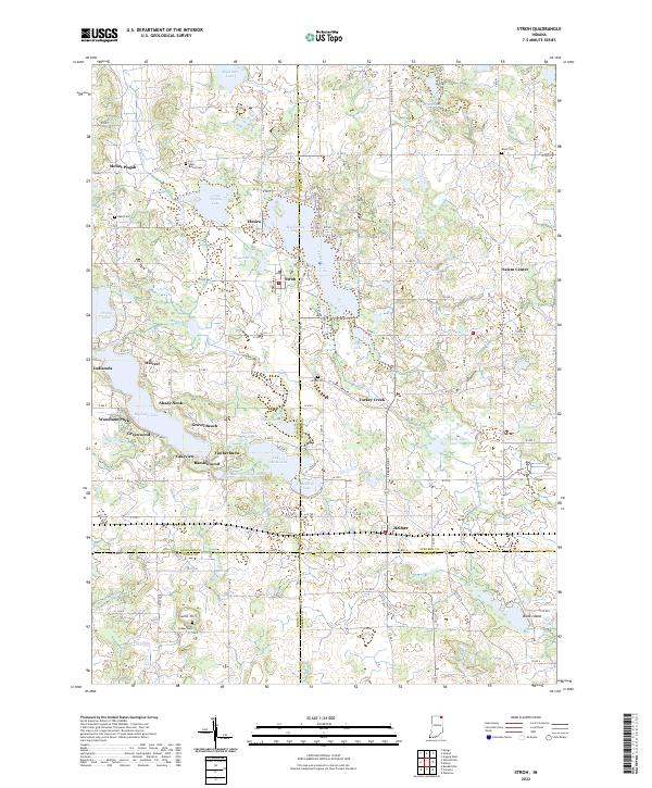
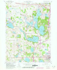
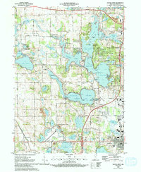
2022 Map of Stroh
USGS Topo · Published 2022About this map
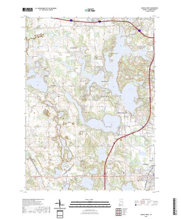
Stroh serves as the central hub of this northern Indiana landscape, where the borders of Steuben, LaGrange, Noble, and DeKalb counties converge. The geography is defined by a dense concentration of glacial lakes and wetlands, including Big Turkey Lake, Big Long Lake, and Lake of the Woods. These water bodies have shaped the local development pattern, with small lakeside communities like Gravel Beach, Lakeview, and Woodland Park clustering along the shorelines. Beyond the recreational waters, the map reveals a rural history preserved through numerous small burial grounds such as Bethel Cem, Reed Cem, and Block Cem. This 2022 survey captures the transition from historic crossroads like Salem Center and Elmira to modern drainage systems managed through the Maumee Ditch, Hutchins Ditch, and Uhl Ditch networks.
Find a feature on this map
57 named features on this map. Tap any name to fly to it.
Don’t see what you’re looking for? This feature index may not catch every label — zoom into the map to look around manually.
Map Details
Editions of this 2022 Stroh Map
This is the sole edition of this map. No revisions or reprints were ever made.
Historical Maps of Tall Timbers Through Time
15 maps found
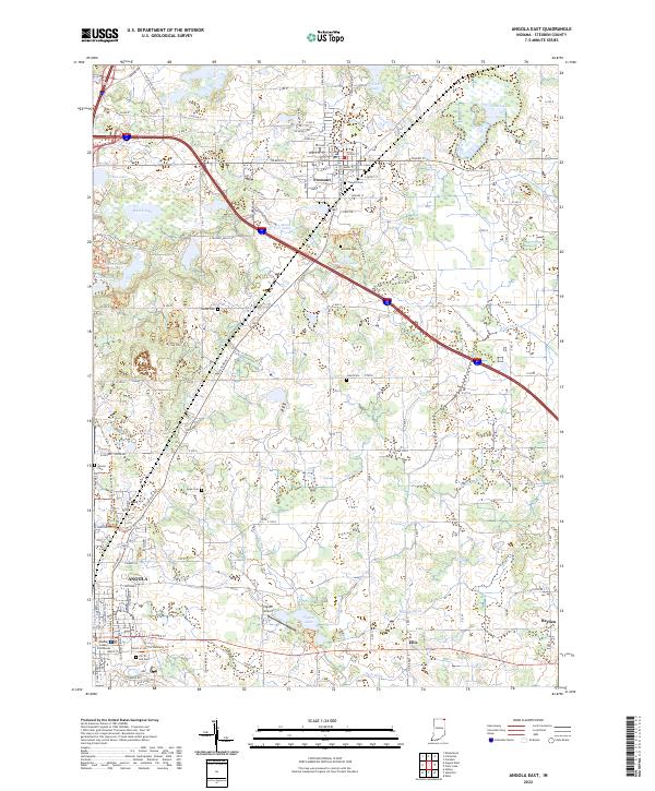
1939 Angola East
Steuben County, IN
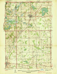
1940 Metz
Steuben County, IN
1941 Angola West
Steuben County, IN

1942 Angola West
Steuben County, IN

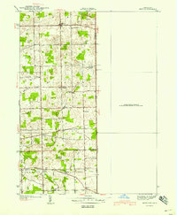
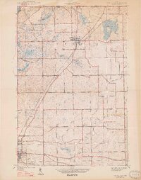
1942 Stroh
Steuben County, IN
1947 Angola East
Steuben County, IN
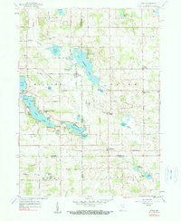
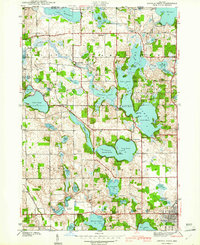
1959 Stroh
Steuben County, IN
1960 Angola East
Steuben County, IN
1960 Angola West
Steuben County, IN
1992 Angola West
Steuben County, IN
1993 Angola East
Steuben County, IN
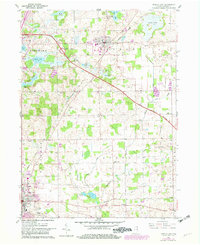
1993 Stroh
Steuben County, IN
2022 Angola East
Steuben County, IN
2022 Angola West
Steuben County, IN
2022 Stroh
Steuben County, IN