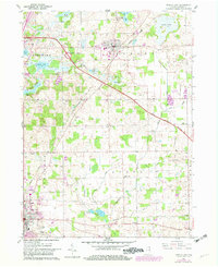
1960 Map of Angola East
USGS Topo · Published 1982About this map
The Indiana East-West Toll Road cuts a modern path through this glacial landscape in northeastern Steuben County, where numerous small lakes and marshes define the terrain. To the north, Fremont serves as a central hub, while the northern edge of Angola anchors the southern portion of the sheet. The area is dense with community markers from an earlier era, including rural education sites like Scott Center Sch and several country churches such as Jones Chapel and North Scott Ch.
Find a feature on this map
42 named features on this map. Tap any name to fly to it.
Don’t see what you’re looking for? This feature index may not catch every label — zoom into the map to look around manually.
Map Details
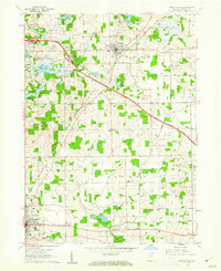
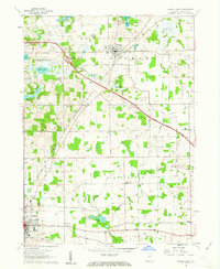
Editions of this 1960 Angola East Map
3 editions found
Other maps of this area

1939 · Hamilton
USGS Topo · 1:24,000

1939 · Angola East
USGS Topo · 1:24,000

1939 · Clear Lake
USGS Topo · 1:24,000

1940 · Metz
USGS Topo · 1:24,000

1940 · Clear Lake
USGS Topo · 1:24,000

1941 · Angola West
USGS Topo · 1:24,000

1942 · Ashley
USGS Topo · 1:24,000

1942 · Angola West
USGS Topo · 1:24,000

1947 · Angola East
USGS Topo · 1:24,000

1948 · Hamilton
USGS Topo · 1:24,000