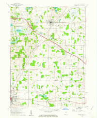
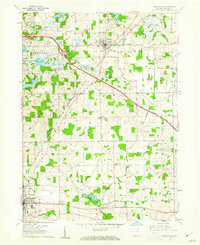
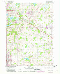
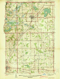
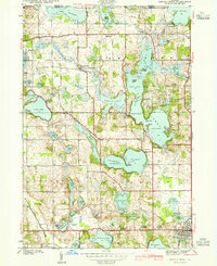
1960 Map of Angola East
USGS Topo · Published 1963About this map
Fremont and the northern outskirts of Angola serve as the primary hubs in this corner of Northeast Indiana, where the recently completed Indiana East-West Toll Road cuts a modern diagonal across a glacial landscape. This mid-century revision captures the region as its rural character began to integrate with major interstate travel, evidenced by the Service Facilities and Sewage Disposal infrastructure supporting the toll road. The terrain is defined by its hydrology, featuring dozens of named water bodies such as the Seven Sisters Lakes and Cedar Lake, many of which supported early resort growth and small-scale lakeside burials like Lakeside Cem.
Find a feature on this map
42 named features on this map. Tap any name to fly to it.
Don’t see what you’re looking for? This feature index may not catch every label — zoom into the map to look around manually.
Map Details
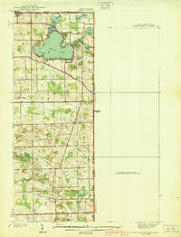
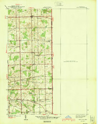
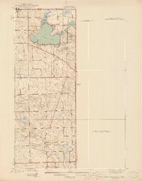
Editions of this 1960 Angola East Map
3 editions found
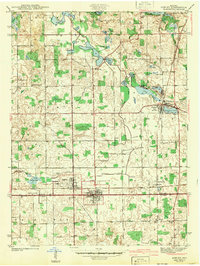
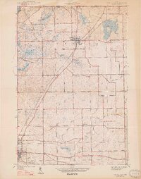
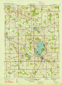
Other maps of this area
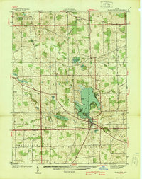
1939 · Hamilton
USGS Topo · 1:24,000
1939 · Angola East
USGS Topo · 1:24,000
1939 · Clear Lake
USGS Topo · 1:24,000
1940 · Metz
USGS Topo · 1:24,000
1940 · Clear Lake
USGS Topo · 1:24,000
1941 · Angola West
USGS Topo · 1:24,000
1942 · Ashley
USGS Topo · 1:24,000

1942 · Angola West
USGS Topo · 1:24,000
1947 · Angola East
USGS Topo · 1:24,000
1948 · Hamilton
USGS Topo · 1:24,000