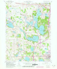
1960 Map of Angola West
USGS Topo · Published 1982About this map
Pokagon State Park and its Potawatomi Inn anchor the eastern shoreline of the vast lake system in this Steuben County landscape. The 1960 revision, later updated with aerial photography, reveals a region defined by recreational development and established agricultural tracts. Distinct lake basins, including James Lake and Crooked Lake, are meticulously mapped with depth curves, highlighting the intricate hydrology that shaped local tourism and settlement.
Find a feature on this map
83 named features on this map. Tap any name to fly to it.
Don’t see what you’re looking for? This feature index may not catch every label — zoom into the map to look around manually.
Map Details
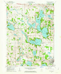
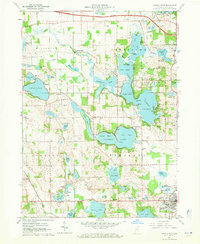
Editions of this 1960 Angola West Map
Other maps of this area

1939 · Hamilton
USGS Topo · 1:24,000

1939 · Angola East
USGS Topo · 1:24,000

1940 · Orland
USGS Topo · 1:24,000

1941 · Orland
USGS Topo · 1:24,000

1941 · Angola West
USGS Topo · 1:24,000

1942 · Ashley
USGS Topo · 1:24,000

1942 · Angola West
USGS Topo · 1:24,000

1942 · Stroh
USGS Topo · 1:24,000

1947 · Angola East
USGS Topo · 1:24,000

1948 · Hamilton
USGS Topo · 1:24,000