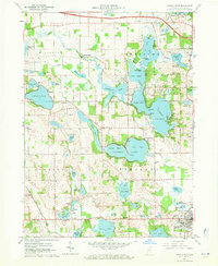
1960 Map of Angola West
USGS Topo · Published 1971About this map
Glacial lake basins dominate this landscape northwest of Angola in the early 1960s, showing a complex network of waterways including Lake James, Lake Gage, and Snow Lake. The map details the developed recreation and conservation landscape of Pokagon State Park, featuring the Potawatomi Inn and various basin divisions. In addition to the large lakes, smaller settlements such as Nevada Mills, Panama, and Glen Eden are documented alongside specialized facilities like the Tri-State Airport and the County Farm.
Find a feature on this map
81 named features on this map. Tap any name to fly to it.
Don’t see what you’re looking for? This feature index may not catch every label — zoom into the map to look around manually.
Map Details
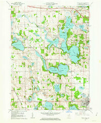
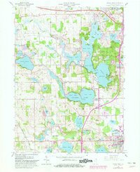
Editions of this 1960 Angola West Map
Other maps of this area

1939 · Hamilton
USGS Topo · 1:24,000

1939 · Angola East
USGS Topo · 1:24,000

1940 · Orland
USGS Topo · 1:24,000

1941 · Orland
USGS Topo · 1:24,000

1941 · Angola West
USGS Topo · 1:24,000

1942 · Ashley
USGS Topo · 1:24,000

1942 · Angola West
USGS Topo · 1:24,000

1942 · Stroh
USGS Topo · 1:24,000

1947 · Angola East
USGS Topo · 1:24,000

1948 · Hamilton
USGS Topo · 1:24,000