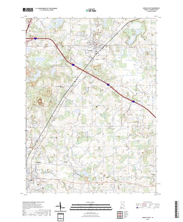
2022 Map of Angola East
USGS Topo · Published 2022About this map
Fremont and the northern reaches of Angola anchor this eastern Steuben County landscape, where glacial legacy is evident in the cluster of water bodies including Seven Sisters Lakes, Failing Lake, and Marsh Lake. The terrain is defined by an intricate network of drainage ditches such as Metz Ditch, Eatinger Ditch, and Berlien Ditch, which manage the low-lying areas surrounding Pigeon Lake and the Pigeon Creek headwaters. Local history is deeply embedded in the land through numerous burial sites like The Old Cem and Jones Cem, while the Steuben County Courthouse serves as the civic center for the southern portion of the map. For those exploring the natural character of the region, the Mcclue Nature Preserve Trails Trl and Ropchan Wildlife Refuge Trl offer dedicated paths through protected habitats, while the Pigeon Airport and various rural junctions like Berlien and Ellis mark the small-scale transportation hubs of the area.
Find a feature on this map
119 named features on this map. Tap any name to fly to it.
Don’t see what you’re looking for? This feature index may not catch every label — zoom into the map to look around manually.
Map Details
Editions of this 2022 Angola East Map
This is the sole edition of this map. No revisions or reprints were ever made.
Other maps of this area

1939 · Hamilton
USGS Topo · 1:24,000

1939 · Angola East
USGS Topo · 1:24,000

1939 · Clear Lake
USGS Topo · 1:24,000

1940 · Metz
USGS Topo · 1:24,000

1940 · Clear Lake
USGS Topo · 1:24,000

1941 · Angola West
USGS Topo · 1:24,000

1942 · Ashley
USGS Topo · 1:24,000

1942 · Angola West
USGS Topo · 1:24,000

1947 · Angola East
USGS Topo · 1:24,000

1948 · Hamilton
USGS Topo · 1:24,000