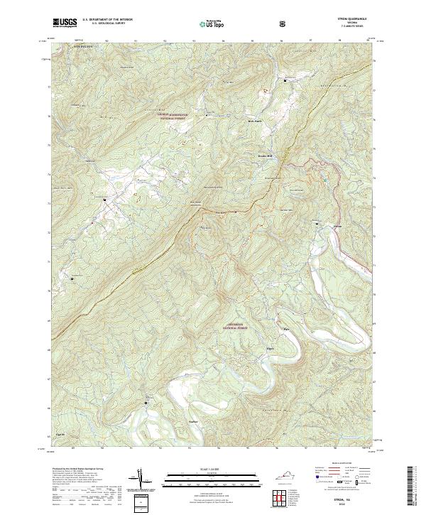
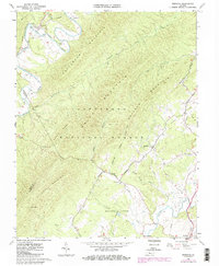
2022 Map of Strom
USGS Topo · Published 2022About this map
Craig Creek carves a winding path through the borderlands of Alleghany Co and Botetourt Co, framing a landscape defined by the ridgelines of the Rich Patch Mountains and Patterson Mtn. This pocket of the Jefferson National Forest is dotted with small, dispersed settlements like Strom, Hipes, and Parr, many of which remain anchored to the old creek crossings and valley floors. The presence of Hooks Mill and several family-named burial grounds, including Rose Hill Cem and Deisher Cem, points to a long-established rural community history.
Find a feature on this map
70 named features on this map. Tap any name to fly to it.
Don’t see what you’re looking for? This feature index may not catch every label — zoom into the map to look around manually.
Map Details
Editions of this 2022 Strom Map
This is the sole edition of this map. No revisions or reprints were ever made.
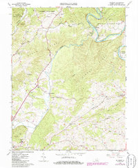
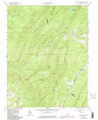
Historical Maps of Hooks Mill Through Time
17 maps found

1894 Natural Bridge
Botetourt County, VA
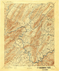
1894 Rockbridge
Botetourt County, VA
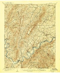
1907 Natural Bridge
Botetourt County, VA
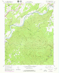
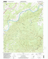
1961 Arnold Valley
Botetourt County, VA
1962 Oriskany
Botetourt County, VA
1962 Salisbury
Botetourt County, VA
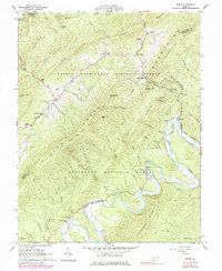
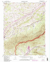
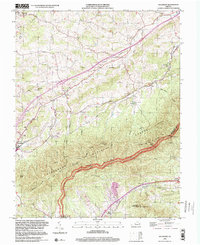
1962 Strom
Botetourt County, VA
1962 Sugarloaf Mtn
Botetourt County, VA
1963 Villamont
Botetourt County, VA
1999 Arnold Valley
Botetourt County, VA
1999 Villamont
Botetourt County, VA
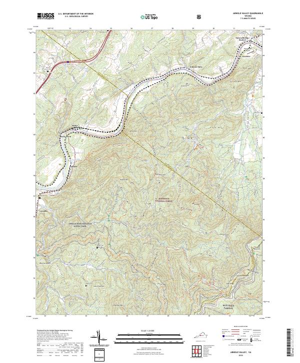
2022 Arnold Valley
Botetourt County, VA
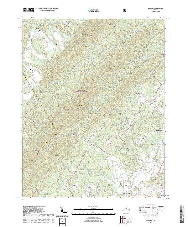
2022 Oriskany
Botetourt County, VA
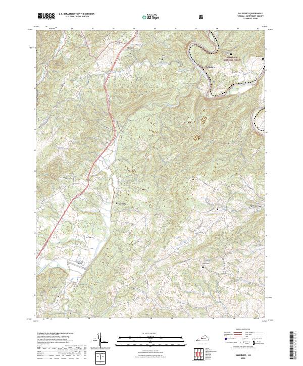
2022 Salisbury
Botetourt County, VA
2022 Strom
Botetourt County, VA
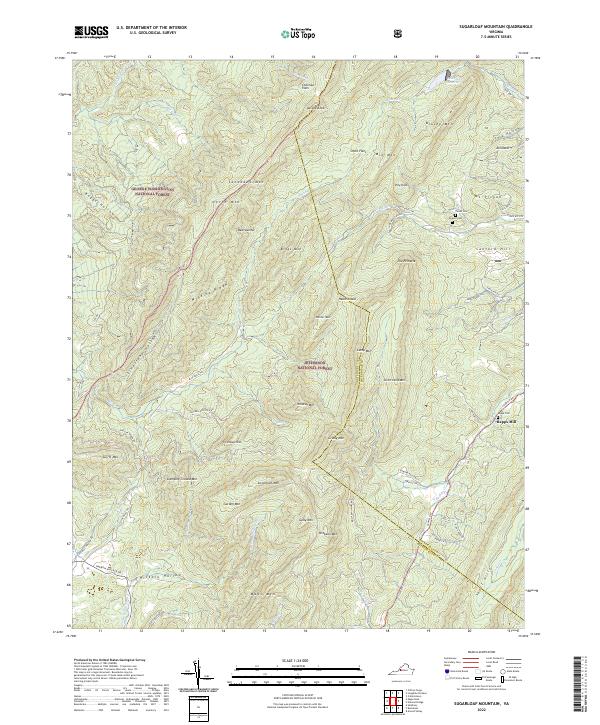
2022 Sugarloaf Mountain
Botetourt County, VA
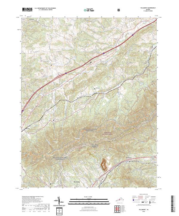
2022 Villamont
Botetourt County, VA