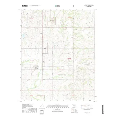
2018 Map of Strong City
USGS Topo · Published 2018About this map
Strong City serves as the central settlement of this Roger Mills County landscape, situated where the Washita River bends south through the western Oklahoma plains. The area is defined by the mosaic of the Black Kettle National Grassland, with multiple detached units marked as Bkng interspersed among private agricultural sections. This 2018 survey reveals a terrain deeply dissected by numerous watercourses, including Wild Horse Cr and Caffey Cr, which feed into the larger river system. Genealogists will find significant local history preserved in the rural landscape, from the town's namesake Strong Cem to outlying sites like Wagoner Cem, Sankey Cem, and Snakey Bend Cem. The township grid system is well-established here, with numbered roads like n1900 RD and E 900 RD providing the primary transit network across the grassy uplands and creek bottoms.
Find a feature on this map
40 named features on this map. Tap any name to fly to it.
Don’t see what you’re looking for? This feature index may not catch every label — zoom into the map to look around manually.
Map Details
Editions of this 2018 Strong City Map
This is the sole edition of this map. No revisions or reprints were ever made.
Other maps of this area

1955 · Clinton
USGS Topo · 1:250,000

1957 · Clinton
USGS Topo · 1:250,000

1960 · Cheyenne
USGS Topo · 1:62,500

1960 · Hammon
USGS Topo · 1:62,500

1961 · Leedey
USGS Topo · 1:62,500

1966 · Roll
USGS Topo · 1:24,000

1966 · Roll SE
USGS Topo · 1:24,000

1984 · Foss Reservoir
USGS Topo · 1:100,000
1987 · Leedey SW
USGS Topo · 1:24,000

1987 · Big Kiowa Creek
USGS Topo · 1:24,000