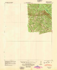
1939 Map of Strong
USGS Topo · Published 1948About this map
New London and the surrounding woodlands of Union County are documented here during the late 1930s, showing a landscape defined by small rural hubs and the timber and water resources of the region. The map details the local infrastructure of the era, from the McGlendon Mill and the Strong Pumping Station to a strategically placed Fire Tower. These landmarks suggest an economy and community life integrated with the dense forests and the winding course of the Bayou de Loutre.
Find a feature on this map
32 named features on this map. Tap any name to fly to it.
Don’t see what you’re looking for? This feature index may not catch every label — zoom into the map to look around manually.
Map Details
Editions of this 1939 Strong Map
This is the sole edition of this map. No revisions or reprints were ever made.
Other maps of this area
1927 · El Dorado
USGS Topo · 1:62,500
1930 · El Dorado
USGS Topo · 1:62,500
1933 · Strong
USGS Topo · 1:62,500
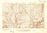
1934 · Ingalls
USGS Topo · 1:48,000
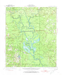
1934 · Felsenthal
USGS Topo · 1:62,500
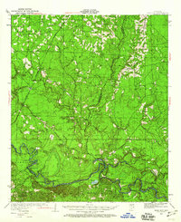
1934 · Moro Bay
USGS Topo · 1:62,500
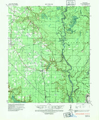
1935 · Haile
USGS Topo · 1:62,500
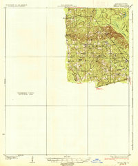
1937 · Strong
USGS Topo · 1:62,500
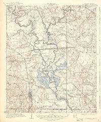
1937 · Felsenthal
USGS Topo · 1:62,500
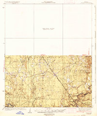
1937 · Ingalls
USGS Topo · 1:62,500