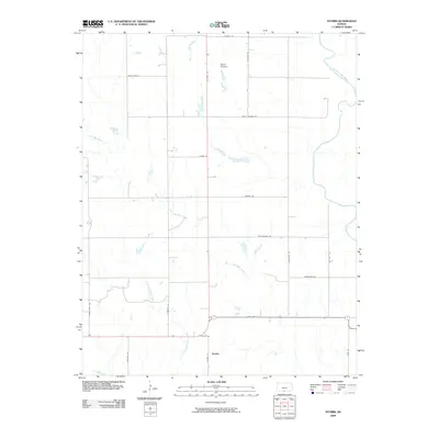
2009 Map of Stubbs
USGS Topo · Published 2009About this map
The settlement of Stubbs sits at the intersection of a rural grid system in southern Kansas, characterized by its position amidst the drainages of the Medicine Lodge River and Little Mule Creek. This 2009 survey shows a landscape of wide-ranging agricultural sections and cattle-related commerce, evidenced by thoroughfares like Roundup Rd and Red Dust Rd. The local topography is defined by the winding course of Little Driftwood Creek and the notable indentation of Scott Canyon to the north. A network of local roads including Black Kettle and the evocative Rattlesnake Trl connects the various homesteads and range lands, reflecting the enduring rural character of Barber County at the start of the 21st century.
Find a feature on this map
23 named features on this map. Tap any name to fly to it.
Don’t see what you’re looking for? This feature index may not catch every label — zoom into the map to look around manually.
Map Details
Editions of this 2009 Stubbs Map
This is the sole edition of this map. No revisions or reprints were ever made.
Other maps of this area

1889 · Anthony
USGS Topo · 1:125,000

1891 · Medicine Lodge
USGS Topo · 1:125,000

1891 · Anthony
USGS Topo · 1:125,000

1893 · Medicine Lodge
USGS Topo · 1:125,000

1955 · Woodward
USGS Topo · 1:250,000

1955 · Pratt
USGS Topo · 1:250,000

1958 · Woodward
USGS Topo · 1:250,000

1959 · Pratt
USGS Topo · 1:250,000

1968 · Capron
USGS Topo · 1:24,000

1969 · Burlington
USGS Topo · 1:24,000