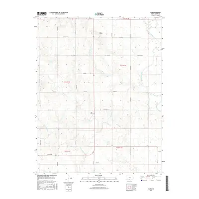
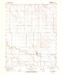
2016 Map of Stubbs
USGS Topo · Published 2016About this map
Stubbs sits in the southern reaches of Barber County, where the plains give way to a network of creeks and canyons near the Oklahoma border. This area is defined by the winding course of the Medicine Lodge River in the northeast and a series of intermittent streams including Little Mule Cr and Little Driftwood Cr. The road network follows a rigid section-line grid, typical of the rural Midwest, yet is interrupted by the local topography of Scott Canyon. The presence of the Walz Airport and distinct trails such as Rattlesnake Trl and Black Kettle highlight the sparse, agricultural nature of the region. This 2016 survey provides a clear view of the modern land divisions and watershed patterns that have shaped this portion of the Kansas-Oklahoma borderlands.
Find a feature on this map
28 named features on this map. Tap any name to fly to it.
Don’t see what you’re looking for? This feature index may not catch every label — zoom into the map to look around manually.
Map Details
Editions of this 2016 Stubbs Map
This is the sole edition of this map. No revisions or reprints were ever made.
Other maps of this area
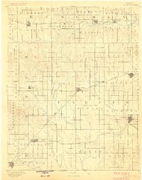
1889 · Anthony
USGS Topo · 1:125,000
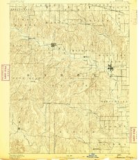
1891 · Medicine Lodge
USGS Topo · 1:125,000
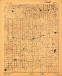
1891 · Anthony
USGS Topo · 1:125,000
1893 · Medicine Lodge
USGS Topo · 1:125,000

1955 · Woodward
USGS Topo · 1:250,000
1955 · Pratt
USGS Topo · 1:250,000

1958 · Woodward
USGS Topo · 1:250,000
1959 · Pratt
USGS Topo · 1:250,000
1968 · Capron
USGS Topo · 1:24,000
1969 · Burlington
USGS Topo · 1:24,000