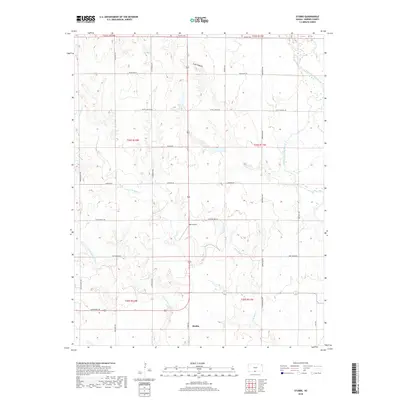
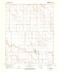
2018 Map of Stubbs
USGS Topo · Published 2018About this map
Stubbs stands as a primary point of reference in this Barber County landscape, where the prairie is deeply etched by a network of seasonal drainages. The north-flowing Medicine Lodge River clips the northeastern corner, while the complex drainages of Little Mule Cr and Little Driftwood Cr define the central and southern reaches. Significant land management is evident through the presence of Black Kettle territory, interspersed with a grid of rural roads like Crown Point Rd and Bare Rd that follow section lines. Aviation interest is represented by Walz Airport, a small facility located near Rattlesnake Trl. The topography is marked by notable features like Scott Canyon, illustrating the erosional patterns of the High Plains as they transition toward the river valley.
Find a feature on this map
29 named features on this map. Tap any name to fly to it.
Don’t see what you’re looking for? This feature index may not catch every label — zoom into the map to look around manually.
Map Details
Editions of this 2018 Stubbs Map
This is the sole edition of this map. No revisions or reprints were ever made.
Other maps of this area
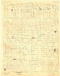
1889 · Anthony
USGS Topo · 1:125,000
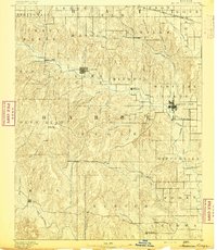
1891 · Medicine Lodge
USGS Topo · 1:125,000
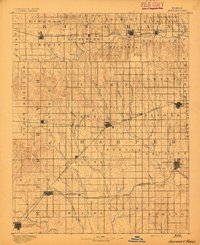
1891 · Anthony
USGS Topo · 1:125,000
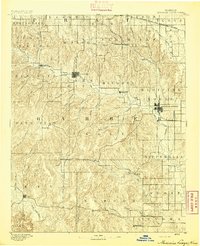
1893 · Medicine Lodge
USGS Topo · 1:125,000

1955 · Woodward
USGS Topo · 1:250,000
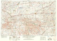
1955 · Pratt
USGS Topo · 1:250,000

1958 · Woodward
USGS Topo · 1:250,000
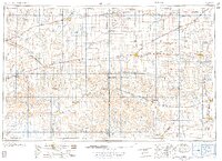
1959 · Pratt
USGS Topo · 1:250,000
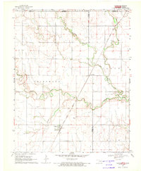
1968 · Capron
USGS Topo · 1:24,000
1969 · Burlington
USGS Topo · 1:24,000