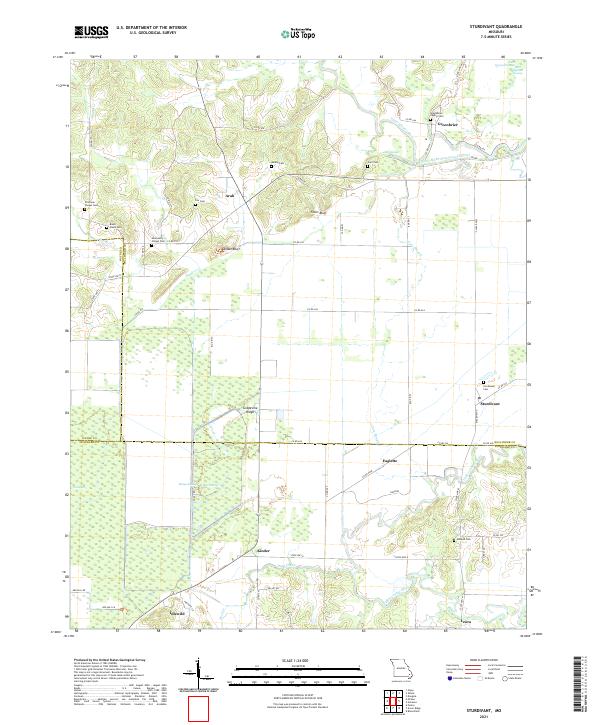
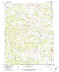
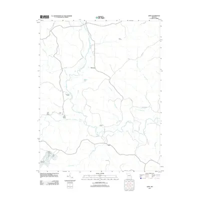
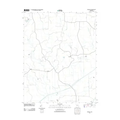
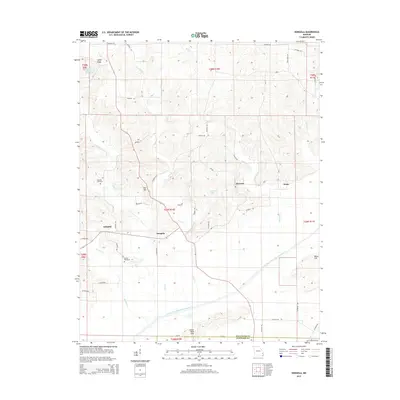
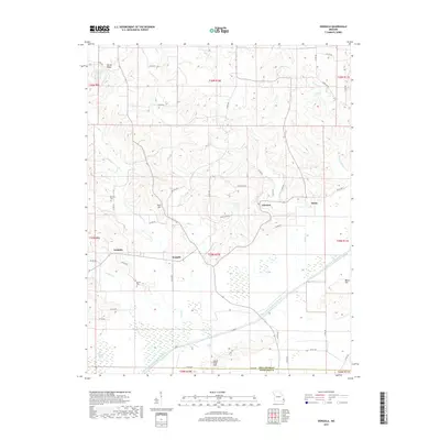
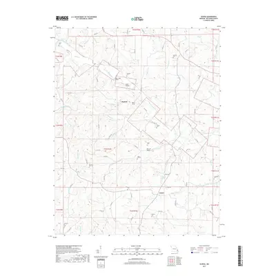
2021 Map of Sturdivant
USGS Topo · Published 2021About this map
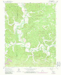
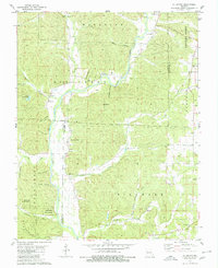
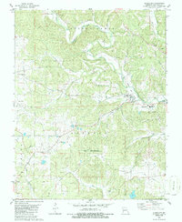
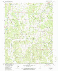
Mingo Swamp and the hydraulic engineering of the Castor River Diversion Channel dominate this landscape where Bollinger, Wayne, and Stoddard counties converge. The area is defined by its complex drainage network, where the Upper Castor River and Cato Slough wind through low-lying terrain broken by prominent elevations like Fears Bluff and Snake Bluff. Small rural communities including Sturdivant, Kinder, and Arab are connected by a web of county roads and state highways.
Find a feature on this map
68 named features on this map. Tap any name to fly to it.
Don’t see what you’re looking for? This feature index may not catch every label — zoom into the map to look around manually.
Map Details
Editions of this 2021 Sturdivant Map
This is the sole edition of this map. No revisions or reprints were ever made.
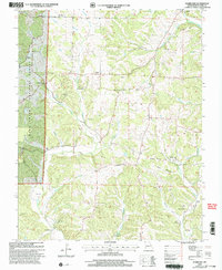
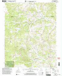
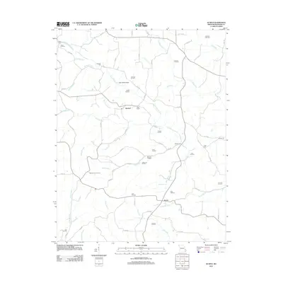
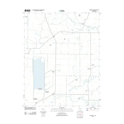
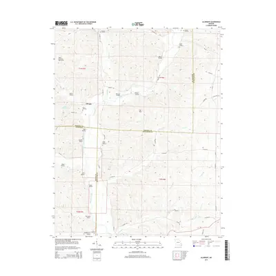
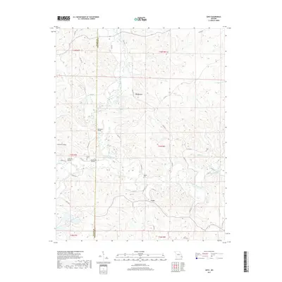
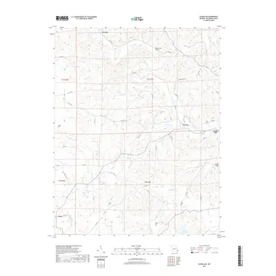
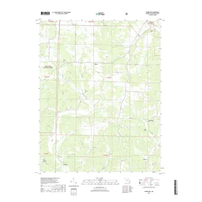
Historical Maps of Eaglette Through Time
43 maps found

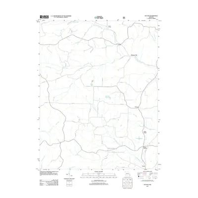
1959 Patton
Bollinger County, MO
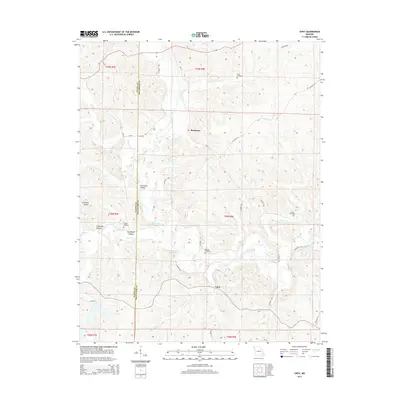
1963 Dongola
Bollinger County, MO
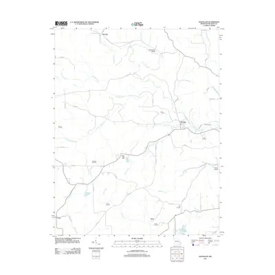
1963 Gipsy
Bollinger County, MO
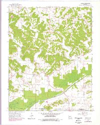
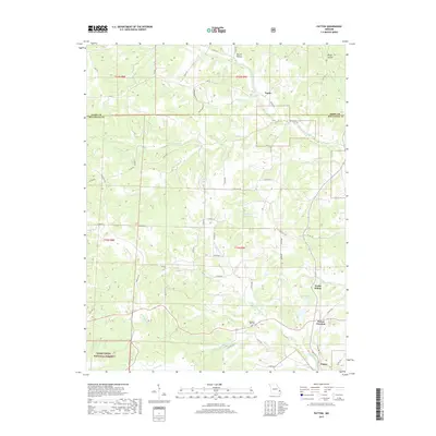
1963 Sturdivant
Bollinger County, MO
1964 Gipsy
Bollinger County, MO
1980 Allbright
Bollinger County, MO
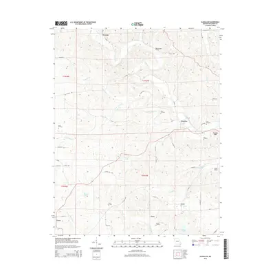
1980 Glenallen
Bollinger County, MO
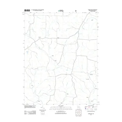
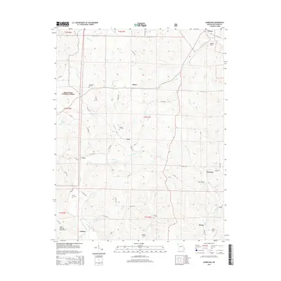
1980 Hurricane
Bollinger County, MO
1980 Scopus
Bollinger County, MO
2000 Hurricane
Bollinger County, MO
2000 Patton
Bollinger County, MO
2011 Allbright
Bollinger County, MO
2011 Gipsy
Bollinger County, MO
2011 Glenallen
Bollinger County, MO
2011 Hurricane
Bollinger County, MO
2011 Patton
Bollinger County, MO
2012 Dongola
Bollinger County, MO
2012 Scopus
Bollinger County, MO
2012 Sturdivant
Bollinger County, MO
2015 Allbright
Bollinger County, MO
2015 Dongola
Bollinger County, MO
2015 Gipsy
Bollinger County, MO
2015 Glenallen
Bollinger County, MO
2015 Hurricane
Bollinger County, MO
2015 Patton
Bollinger County, MO
2015 Scopus
Bollinger County, MO
2015 Sturdivant
Bollinger County, MO
2017 Allbright
Bollinger County, MO
2017 Dongola
Bollinger County, MO
2017 Gipsy
Bollinger County, MO
2017 Glenallen
Bollinger County, MO
2017 Hurricane
Bollinger County, MO
2017 Patton
Bollinger County, MO
2017 Scopus
Bollinger County, MO
2017 Sturdivant
Bollinger County, MO
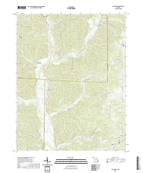
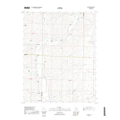
2021 Allbright
Bollinger County, MO
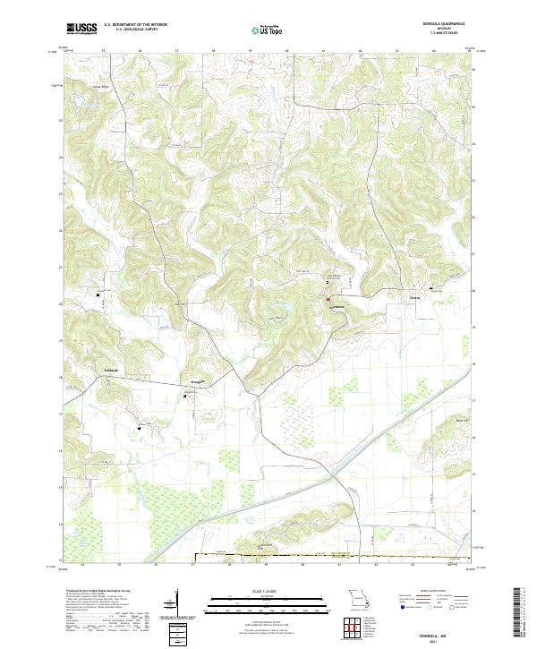
2021 Dongola
Bollinger County, MO
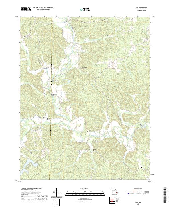
2021 Gipsy
Bollinger County, MO
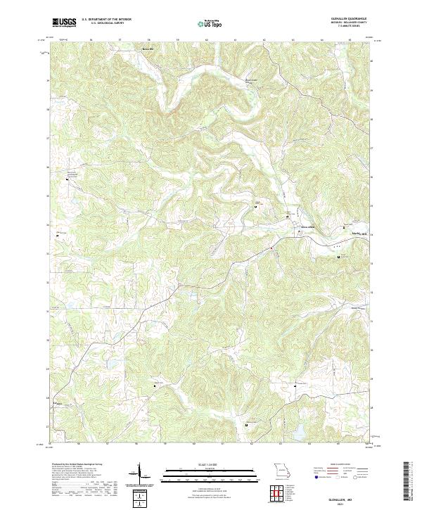
2021 Glenallen
Bollinger County, MO
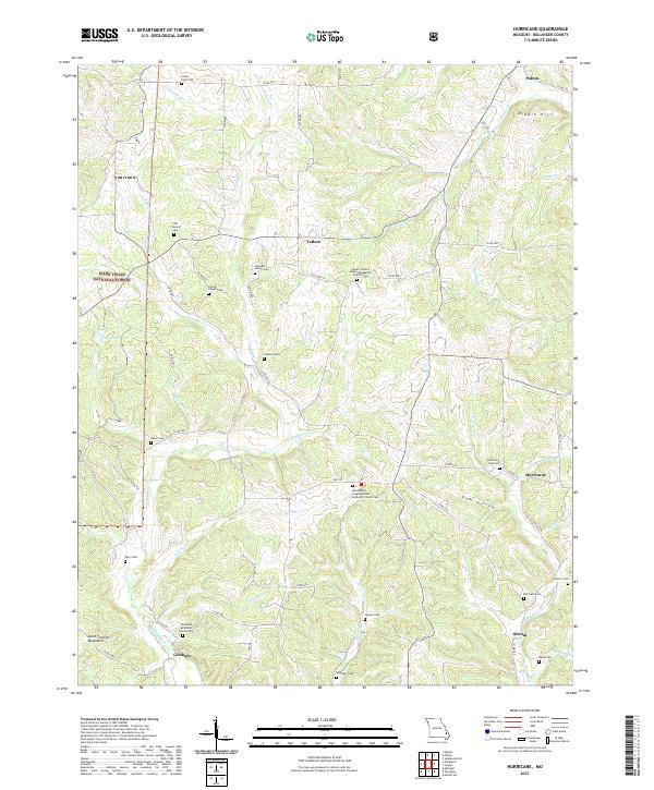
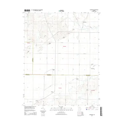
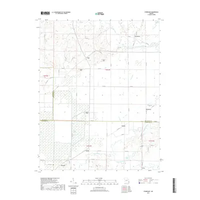
2021 Hurricane
Bollinger County, MO
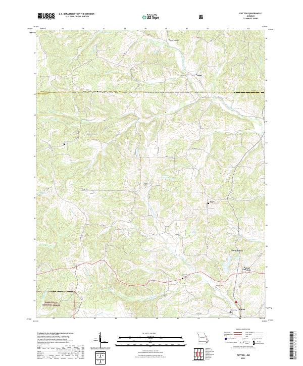
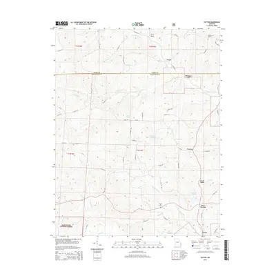
2021 Patton
Bollinger County, MO
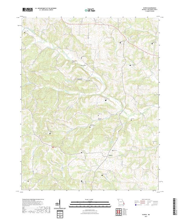
2021 Scopus
Bollinger County, MO
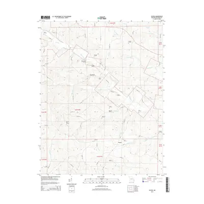
2021 Sturdivant
Bollinger County, MO