2024 Map of Sublette
USGS Topo · Published 2024About this map
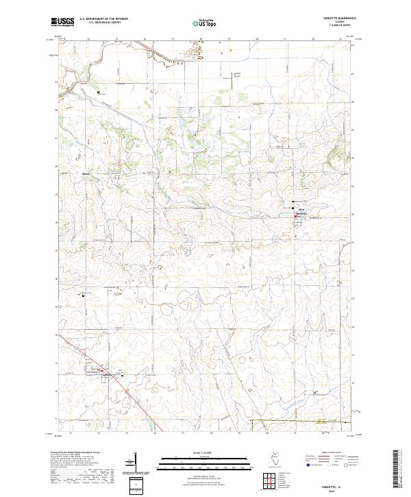
The village of Sublette sits at the intersection of US Rte 52 and Co Hwy 12, serving as a central point for this agricultural region on the border of Lee and LaSalle Counties. The landscape is defined by a dense network of local roads such as Shady Oaks Rd and Tower Rd that connect isolated farmsteads and rural landmarks. Several burial grounds, including Saint Marys Cem and Evergreen Cem near Sublette, along with Inlet Cem to the north and Union Cem near West Brooklyn, offer significant points of interest for genealogists tracing local families. Natural drainage is shaped by Green River in the northwest and Big Bureau Creek in the south, while the Delhotal Airport provides a small aviation footprint amidst the fields. This contemporary survey captures the enduring settlement patterns of northern Illinois, from the clustered homes in Shaws to the established grid of the larger villages.
Find a feature on this map
50 named features on this map. Tap any name to fly to it.
Don’t see what you’re looking for? This feature index may not catch every label — zoom into the map to look around manually.
Map Details
Editions of this 2024 Sublette Map
This is the sole edition of this map. No revisions or reprints were ever made.
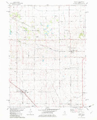
Historical Maps of Inlet Through Time
Featured Locations
- Viola Township, IL
- Brooklyn Township, IL
- Lee Center Township, IL
- West Brooklyn, Brooklyn Township
- Sublette, Sublette Township