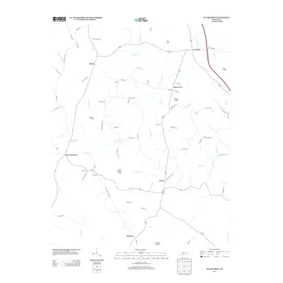
2013 Map of Sugar Grove
USGS Topo · Published 2013About this map
Little Muddy Creek and its many tributaries, including Neils Creek and Belcher Creek, define the landscape of this southern Kentucky region. The area is characterized by a high density of family and community burial sites, such as Lee Cemetery, McKinney Cemetery, and Bailey Cemetery, which offer significant value for genealogical research. Small settlements and historic junctions like Davis Crossroads, Sugar Grove, and Dimple serve as the primary hubs for a network of rural roads that follow the winding terrain. Distinctive landmarks such as Peach Orchard Knob and the geological formation at Hanging Rock overlook the creek valleys. The map also reveals the rural development along the Gasper River in the southeast, where the terrain transitions into the deeper Richelieu Hollow near the settlement of Richelieu.
Find a feature on this map
74 named features on this map. Tap any name to fly to it.
Don’t see what you’re looking for? This feature index may not catch every label — zoom into the map to look around manually.
Map Details
Editions of this 2013 Sugar Grove Map
This is the sole edition of this map. No revisions or reprints were ever made.
Other maps of this area

1911 · Dunmor
USGS Topo · 1:48,000

1914 · Little Muddy
USGS Topo · 1:62,500

1914 · Dunmor
USGS Topo · 1:62,500

1951 · South Union
USGS Topo · 1:24,000

1951 · Homer
USGS Topo · 1:24,000

1952 · Rockfield
USGS Topo · 1:24,000

1953 · South Hill
USGS Topo · 1:24,000

1953 · Quality
USGS Topo · 1:24,000

1954 · Evansville
USGS Topo · 1:250,000
1954 · Hadley
USGS Topo · 1:24,000