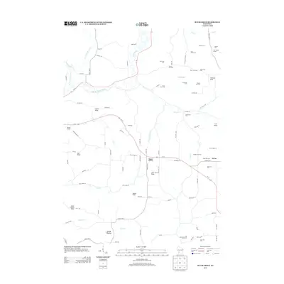
2013 Map of Sugar Grove
USGS Topo · Published 2013About this map
Agricultural heritage and complex terrain define this portion of the Driftless Area, where the Kickapoo River and its western fork carve through a landscape of high ridges and deep hollows. The map illustrates a distinctive settlement pattern of named family farms and livestock operations, such as the Big Spring Stock and Grain Farm and Purple Stock Farm, which are situated primarily along the flat crests of Hopewell Ridge and Sugar Grove Ridge. These topographic features provided stable ground for early farming communities above the winding drainages of Plum Run and Trout Cr.
Find a feature on this map
94 named features on this map. Tap any name to fly to it.
Don’t see what you’re looking for? This feature index may not catch every label — zoom into the map to look around manually.
Map Details
Editions of this 2013 Sugar Grove Map
This is the sole edition of this map. No revisions or reprints were ever made.
Other maps of this area

1923 · Viroqua
USGS Topo · 1:62,500

1924 · Gays Mills
USGS Topo · 1:62,500

1926 · Gays Mills
USGS Topo · 1:62,500

1926 · Viroqua
USGS Topo · 1:62,500

1926 · La Farge
USGS Topo · 1:62,500

1933 · Boaz
USGS Topo · 1:62,500

1958 · La Crosse
USGS Topo · 1:250,000

1961 · La Crosse
USGS Topo · 1:250,000

1965 · La Crosse
USGS Topo · 1:250,000

1965 · La Farge
USGS Topo · 1:62,500