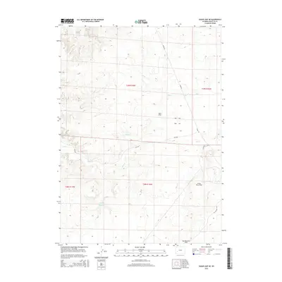
2015 Map of Sugar Loaf NE
USGS Topo · Published 2015About this map
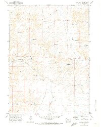
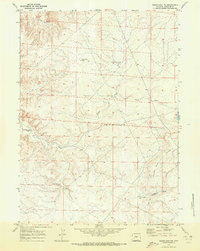
Wardell Reservoir and the drainage of Alkali Cr define this high-desert landscape in Sublette County, Wyoming. The terrain is characterized by expansive draws and ridges, such as Sand Draw and the prominent Yellow Point Ridge in the southeastern quadrant. This 2015 survey illustrates a sparsely populated region primarily utilized for water management and resource access, as evidenced by Antelope Reservoir Number 1 and a network of arterial roads including Burma Rd and Yellow Point Rd. The Public Land Survey System grid lines for t29n r109w and surrounding townships are clearly delineated, providing a clear framework for understanding land divisions and property boundaries in this open country north of the Great Divide Basin.
Find a feature on this map
13 named features on this map. Tap any name to fly to it.
Don’t see what you’re looking for? This feature index may not catch every label — zoom into the map to look around manually.
Map Details
Editions of this 2015 Sugar Loaf NE Map
This is the sole edition of this map. No revisions or reprints were ever made.
Other maps of this area

1955 · Lander
USGS Topo · 1:250,000

1958 · Lander
USGS Topo · 1:250,000

1961 · Lander
USGS Topo · 1:250,000

1964 · Ross Butte
USGS Topo · 1:24,000
1964 · Olsen Ranch
USGS Topo · 1:24,000

1969 · Oasis Well
USGS Topo · 1:24,000
1969 · Sugar Loaf
USGS Topo · 1:24,000
1969 · Teakettle Butte
USGS Topo · 1:24,000
1969 · Sugar Loaf NW
USGS Topo · 1:24,000
1969 · Sugar Loaf NE
USGS Topo · 1:24,000