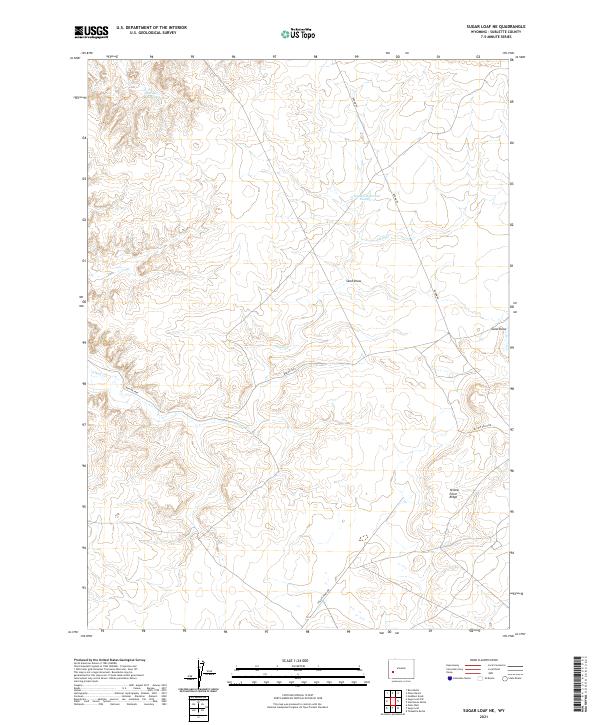
2021 Map of Sugar Loaf NE
USGS Topo · Published 2021About this map
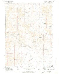
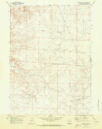
Yellow Point Ridge defines the eastern landscape of this high-desert portion of Sublette County, where water management is central to the land's utility. Significant water features like Luman Reservoir Number 2 and Wardell Reservoir are distributed across the terrain, connected by the seasonal drainage of Alkali Cr. This area is characterized by a network of resource access roads, including Burma Rd and Yellow Point Rd, which intersect the vast draws and ridges. The presence of Sand Draw and various Bureau of Land Management routes like BLM Rd 5404 reflects the contemporary management of Wyoming's public lands for grazing and natural resource access.
Find a feature on this map
12 named features on this map. Tap any name to fly to it.
Don’t see what you’re looking for? This feature index may not catch every label — zoom into the map to look around manually.
Map Details
Editions of this 2021 Sugar Loaf NE Map
This is the sole edition of this map. No revisions or reprints were ever made.
Other maps of this area

1955 · Lander
USGS Topo · 1:250,000

1958 · Lander
USGS Topo · 1:250,000

1961 · Lander
USGS Topo · 1:250,000

1964 · Ross Butte
USGS Topo · 1:24,000
1964 · Olsen Ranch
USGS Topo · 1:24,000

1969 · Oasis Well
USGS Topo · 1:24,000
1969 · Sugar Loaf
USGS Topo · 1:24,000
1969 · Teakettle Butte
USGS Topo · 1:24,000
1969 · Sugar Loaf NW
USGS Topo · 1:24,000
1969 · Sugar Loaf NE
USGS Topo · 1:24,000