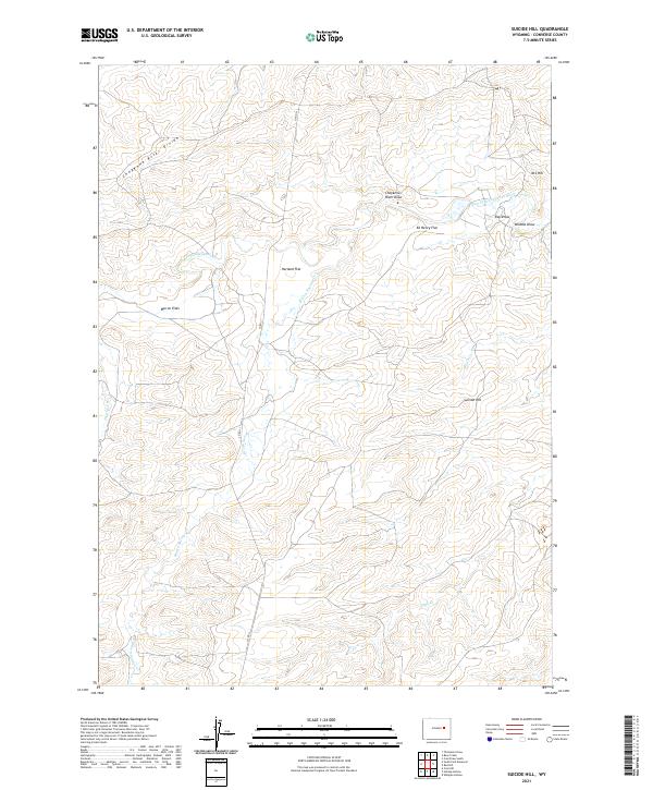
2021 Map of Suicide Hill
USGS Topo · Published 2021About this map
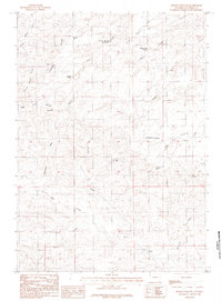
The Cheyenne River Divide serves as the dominant hydrological feature of this section of Converse County, partitioning the drainage into various creek systems. The landscape is defined by broad, named basins such as Barron Flats, Harland Flat, and Ed Henry Flat, which suggest a terrain utilized for cattle grazing or sheep ranching. This high-plains region is bisected by the Dry Fork Cheyenne River, with smaller tributaries like Brown Springs Cr and Phillips Cr carving through the prairie. The name Suicide Hill stands out as a stark topographic landmark, while local family or historical identifiers are preserved in features like M-S Hill and Ray Draw. Co RD 31 provides the primary transit artery through this ranching-focused environment.
Find a feature on this map
21 named features on this map. Tap any name to fly to it.
Don’t see what you’re looking for? This feature index may not catch every label — zoom into the map to look around manually.
Map Details
Editions of this 2021 Suicide Hill Map
This is the sole edition of this map. No revisions or reprints were ever made.
Other maps of this area

1955 · Newcastle
USGS Topo · 1:250,000

1958 · Newcastle
USGS Topo · 1:250,000

1959 · Fifty-Five Ranch
USGS Topo · 1:62,500

1959 · Coal Draw
USGS Topo · 1:62,500
1959 · Highland Flats
USGS Topo · 1:62,500

1960 · Ross
USGS Topo · 1:62,500

1979 · Bill
USGS Topo · 1:100,000
1984 · Whipple Hollow
USGS Topo · 1:24,000
1984 · Coal Draw South
USGS Topo · 1:24,000
1984 · Holdup Hollow
USGS Topo · 1:24,000