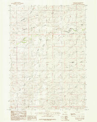
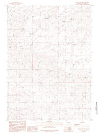
1984 Map of Suicide Hill
USGS Topo · Published 1984About this map
The Cheyenne River winds through a high-plains landscape in this 1980s-era survey of Converse County. The geography is defined by a complex network of ephemeral drainages, including Tuesday Draw, Ed Henry Draw, and Wildcat Draw, which carve through the prominent central Divide. Human presence is marked by ranching landmarks and industrial activity, notably a Strip Mine located in the southern reaches near Duck Creek.
Find a feature on this map
25 named features on this map. Tap any name to fly to it.
Don’t see what you’re looking for? This feature index may not catch every label — zoom into the map to look around manually.
Map Details
Editions of this 1984 Suicide Hill Map
This is the sole edition of this map. No revisions or reprints were ever made.
Other maps of this area

1955 · Newcastle
USGS Topo · 1:250,000

1958 · Newcastle
USGS Topo · 1:250,000

1959 · Fifty-Five Ranch
USGS Topo · 1:62,500

1959 · Coal Draw
USGS Topo · 1:62,500
1959 · Highland Flats
USGS Topo · 1:62,500

1960 · Ross
USGS Topo · 1:62,500

1979 · Bill
USGS Topo · 1:100,000
1984 · Whipple Hollow
USGS Topo · 1:24,000
1984 · Coal Draw South
USGS Topo · 1:24,000
1984 · Holdup Hollow
USGS Topo · 1:24,000