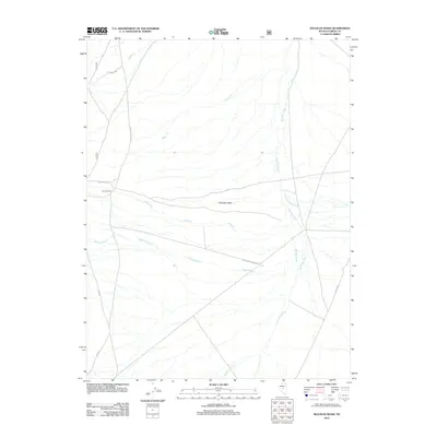
2012 Map of Sullivan Wash
USGS Topo · Published 2012About this map
Antelope Valley dominates this 2012 survey, revealing the remote ranching landscape of Eureka County. The Cerruti Ranch serves as a primary human landmark in this arid expanse, situated near the western edge where the terrain begins its subtle shifts. A complex network of intermittent drainage systems, including Sullivan Wash, Antelope Wash, and Fenstermaker Wash, illustrates the hydrologic patterns of the Great Basin. These washes intersect with ranch roads like the Fish Creek-Ardan Rnch and Antelope Valley Rd, which provide the essential infrastructure for local livestock operations. Smaller watercourses such as Willow Cr and Allison Cr thread through the valley floor, highlighting the seasonal water sources that have dictated settlement and land use in this part of Nevada for generations.
Find a feature on this map
15 named features on this map. Tap any name to fly to it.
Don’t see what you’re looking for? This feature index may not catch every label — zoom into the map to look around manually.
Map Details
Editions of this 2012 Sullivan Wash Map
This is the sole edition of this map. No revisions or reprints were ever made.
Other maps of this area

1926 · Roberts Mountains
USGS Topo · 1:250,000

1929 · Roberts Mountains
USGS Topo · 1:250,000

1955 · Millett
USGS Topo · 1:250,000

1956 · Bellevue Peak
USGS Topo · 1:62,500

1956 · Cockalorum Wash
USGS Topo · 1:62,500

1956 · Horse Heaven Mtn
USGS Topo · 1:62,500

1956 · Antelope Peak
USGS Topo · 1:62,500

1959 · Millett
USGS Topo · 1:250,000

1978 · Summit Mountain
USGS Topo · 1:100,000
1989 · Ninemile Peak
USGS Topo · 1:24,000