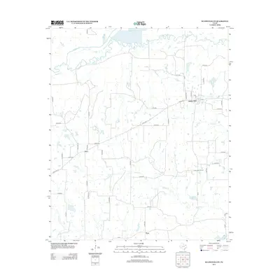
2013 Map of Sulphur Bluff
USGS Topo · Published 2013About this map
Sulphur Bluff and Nelta serve as the primary focal points of this 2013 survey in northeast Texas. The landscape is defined by the winding course of the S Sulphur River along the northern boundary, which is joined by numerous tributaries including Morgan Cr, Mitchell Cr, and Wolfpen Cr. This area maintains a predominantly rural character, shaped by both agricultural land and the energy sector, most notably represented by the Sulphur Bluff Oil Field in the eastern portion of the quadrangle.
Find a feature on this map
43 named features on this map. Tap any name to fly to it.
Don’t see what you’re looking for? This feature index may not catch every label — zoom into the map to look around manually.
Map Details
Editions of this 2013 Sulphur Bluff Map
This is the sole edition of this map. No revisions or reprints were ever made.
Other maps of this area

1953 · Texarkana
USGS Topo · 1:250,000

1956 · Texarkana
USGS Topo · 1:250,000

1962 · Sulphur Bluff
USGS Topo · 1:24,000

1963 · Mitchell Creek
USGS Topo · 1:24,000

1963 · Minter
USGS Topo · 1:24,000

1963 · Cunningham
USGS Topo · 1:24,000

1964 · Saltillo
USGS Topo · 1:24,000

1964 · Sulphur Springs
USGS Topo · 1:24,000

1964 · Charleston
USGS Topo · 1:24,000

1964 · Tira
USGS Topo · 1:24,000