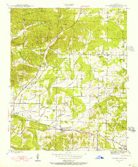
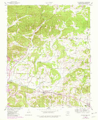
1943 Map of Sulphur Rock
USGS Topo · Published 1956About this map
Sulphur Rock and Moorefield anchor the southern portion of this mid-century survey of Independence County, where the Missouri Pacific railroad cuts through the terrain. The landscape is defined by the transition from the rolling elevations of Goforth Mtn and Adler Hill into the creek valleys of Dota Creek and Miller Creek. Small agricultural communities and rural school districts like Center Hall Sch and Reed Sch are dispersed throughout the region, reflecting the era's local school system before widespread consolidation. Early industrial activity is evidenced by the Ozark No 2 Mine and the Pfeiffer Spur rail line. Researchers can trace numerous family and community sites, including Weaver Chapel, Lee Chapel Cem, and the County Farm, which provide significant data points for local genealogy and land-use history.
Find a feature on this map
55 named features on this map. Tap any name to fly to it.
Don’t see what you’re looking for? This feature index may not catch every label — zoom into the map to look around manually.
Map Details
Editions of this 1943 Sulphur Rock Map
6 editions found

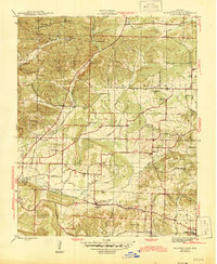
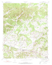
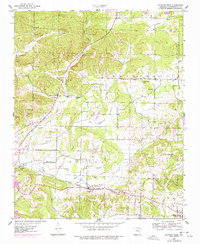
Other maps of this area

1890 · Batesville
USGS Topo · 1:125,000

1891 · Batesville
USGS Topo · 1:125,000

1932 · Strawberry
USGS Topo · 1:62,500

1935 · Strawberry
USGS Topo · 1:62,500

1935 · Newport
USGS Topo · 1:62,500

1941 · Strawberry
USGS Topo · 1:62,500

1942 · Jamestown
USGS Topo · 1:31,680

1942 · Salado
USGS Topo · 1:31,680

1942 · Batesville
USGS Topo · 1:31,680

1943 · Sandtown
USGS Topo · 1:24,000