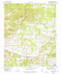
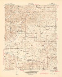
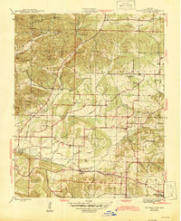
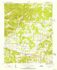
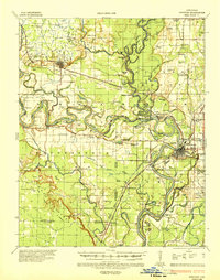
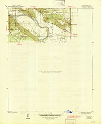
1943 Map of Sulphur Rock
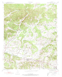
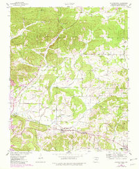
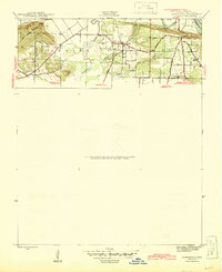
USGS Topo · Published 1978About this map
Sulphur Rock and the surrounding agricultural landscape of Independence County are documented here during the mid-1940s. The Missouri Pacific railroad serves as the primary industrial corridor, connecting settlements like Moorefield and Pfeiffer while passing the Pfeiffer Spur. The terrain is defined by a network of creeks, including Dota Creek and Miller Creek, which carve through ridges such as Goforth Mtn and Adler Hill.
Find a feature on this map
46 named features on this map. Tap any name to fly to it.
Don’t see what you’re looking for? This feature index may not catch every label — zoom into the map to look around manually.
Map Details
Editions of this 1943 Sulphur Rock Map
6 editions found
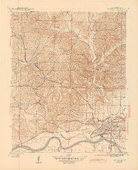
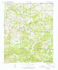
Other maps of this area

1890 · Batesville
USGS Topo · 1:125,000

1891 · Batesville
USGS Topo · 1:125,000

1932 · Strawberry
USGS Topo · 1:62,500

1935 · Strawberry
USGS Topo · 1:62,500
1935 · Newport
USGS Topo · 1:62,500

1941 · Strawberry
USGS Topo · 1:62,500
1942 · Jamestown
USGS Topo · 1:31,680
1942 · Salado
USGS Topo · 1:31,680
1942 · Batesville
USGS Topo · 1:31,680
1943 · Sandtown
USGS Topo · 1:24,000