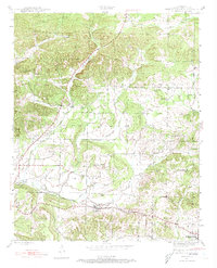
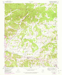
1943 Map of Sulphur Rock
USGS Topo · Published 1973About this map
Sulphur Rock and the surrounding Independence County landscape are defined by a mix of agricultural valley floors and prominent high points like Goforth Mtn during the early 1940s. The Missouri Pacific railroad provides the primary industrial corridor, connecting settlements from Moorefield to the quarrying and mining operations at the Pfeiffer Spur. Local life centers around a dense network of rural institutions, including the County Farm and several small educational hubs such as Reed Sch and Center Hall Sch. The presence of the Ozark No 2 Mine in the north indicates the region's mineral interests during this era. Genealogists will find significant value in the numerous family and community landmarks, from the Bethel Cem to secluded rural congregations like Smith Chapel and Weaver Chapel, which anchored the scattered farmsteads before postwar consolidation changed the rural landscape.
Find a feature on this map
43 named features on this map. Tap any name to fly to it.
Don’t see what you’re looking for? This feature index may not catch every label — zoom into the map to look around manually.
Map Details
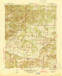
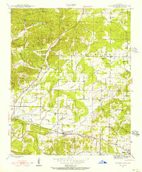
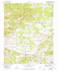
Editions of this 1943 Sulphur Rock Map
6 editions found

Other maps of this area

1890 · Batesville
USGS Topo · 1:125,000

1891 · Batesville
USGS Topo · 1:125,000

1932 · Strawberry
USGS Topo · 1:62,500

1935 · Strawberry
USGS Topo · 1:62,500

1935 · Newport
USGS Topo · 1:62,500

1941 · Strawberry
USGS Topo · 1:62,500

1942 · Jamestown
USGS Topo · 1:31,680

1942 · Salado
USGS Topo · 1:31,680

1942 · Batesville
USGS Topo · 1:31,680

1943 · Sandtown
USGS Topo · 1:24,000