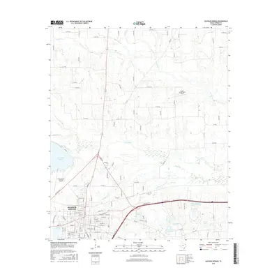
2016 Map of Sulphur Springs
USGS Topo · Published 2016About this map
Sulphur Springs anchors the southwest corner of this northeast Texas landscape, showing a dense street grid punctuated by civic landmarks like Lake Coleman and the Sulphur Springs Municipal Airport. The area north of the city is characterized by a high concentration of named water bodies and creek systems that define the rural topography of Hopkins County. Key drainage systems include the winding White Oak Cr and N Caney Cr, which are surrounded by an extensive network of county roads like Co RD 4764 and Co RD 4586.
Find a feature on this map
114 named features on this map. Tap any name to fly to it.
Don’t see what you’re looking for? This feature index may not catch every label — zoom into the map to look around manually.
Map Details
Editions of this 2016 Sulphur Springs Map
This is the sole edition of this map. No revisions or reprints were ever made.
Other maps of this area

1953 · Texarkana
USGS Topo · 1:250,000

1956 · Texarkana
USGS Topo · 1:250,000

1962 · Sulphur Bluff
USGS Topo · 1:24,000

1962 · Brashear
USGS Topo · 1:24,000

1964 · Como
USGS Topo · 1:24,000

1964 · Sulphur Springs
USGS Topo · 1:24,000

1964 · Gafford Chapel
USGS Topo · 1:24,000

1964 · Tira
USGS Topo · 1:24,000
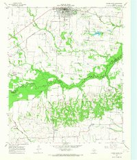
1964 · Cooper South
USGS Topo · 1:24,000
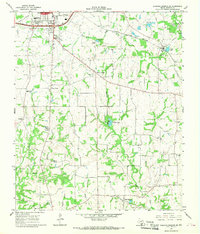
1964 · Sulphur Springs SE
USGS Topo · 1:24,000