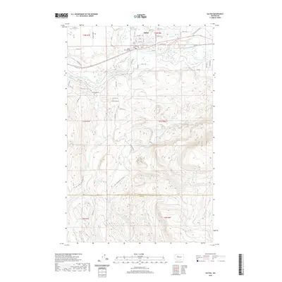
2020 Map of Sultan
USGS Topo · Published 2020About this map
The Sultan settlement sits at the confluence where the Sultan River and Wallace River join the Skykomish River, serving as a focal point for the region’s timber and water history. Evidence of early industry remains visible at the Sultan Mill Pond, while the Sultan River Bridge connects the community across these vital waterways. To the south, the landscape shifts into a dense network of mountain lakes and remote drainage basins, including the uniquely named Drunken Charlie Lake and Lake Dorothy.
Find a feature on this map
70 named features on this map. Tap any name to fly to it.
Don’t see what you’re looking for? This feature index may not catch every label — zoom into the map to look around manually.
Map Details
Editions of this 2020 Sultan Map
This is the sole edition of this map. No revisions or reprints were ever made.
Other maps of this area

1921 · Sultan
USGS Topo · 1:125,000

1923 · Sultan
USGS Topo · 1:125,000

1953 · Sultan
USGS Topo · 1:24,000

1953 · Lake Joy
USGS Topo · 1:24,000

1953 · Monroe
USGS Topo · 1:24,000

1953 · Carnation
USGS Topo · 1:24,000

1956 · Monroe
USGS Topo · 1:62,500

1957 · Index
USGS Topo · 1:62,500

1957 · Wenatchee
USGS Topo · 1:250,000

1960 · Mount Si
USGS Topo · 1:62,500